Elevation: 6,450 ft
Prominence: 320

This peak is not in the book. Published November 2024
Peak 6450 is a minor hump located in the southwest corner of the South Hills in the Sawtooth National Forest. It can be most easily reached from roads east of Rogerson near US-93. USGS Hopper Gulch
Access
From US-93 just north of Rogerson, turn east onto [signed] 1600N and reset your odometer. At 4.7 miles, reach a “T” junction. Go right/south. At 7.0 miles, reach an unsigned road junction (5,316 feet on map). Go left/east here. At 11.3 miles, go straight at a signed road junction (5,794 feet on map). At 12.2 miles, enter the Sawtooth National Forest. The road is now FSR-500 (signed). At 14.4 miles, reach a signed road junction at 5,863 feet (map). Go left/north onto FSR-545. At 15.1 miles, reach a signed road junction. Go straight to stay on FSR-545. At 15.5 miles, reach a crest in the road on a small saddle. Park here(6,155 feet and 42⁰13’54”N, 114⁰24’40”W). A 4WD is necessary for the final 1.1 miles on FSR-545 as there are two stream crossings and some minor rock and ruts on the narrow FS road.
East Shoulder/South Ridge, Class 2
The Climb
You can also start this climb from an old 2-track (shown on the USGS topo map) that comes up the dry gully from FSR-545 about 0.2 miles south of the road crest. This adds about 50 feet in elevation gain but avoids the initial bushwhack through thick-ish scrub that I encountered.
From the road crest/saddle, bushwhack south down a rounded shoulder of gapped, thick-ish sagebrush to reach a meadow/gully crossing about 25 feet below the road crest. From this crossing, scramble south then southwest up the scrub of another shoulder, staying just left/east of a patch of thick aspens. This shoulder curls right-ish/southwest and puts you just under the main summit ridge. Bash south through a short, thick, nasty patch of aspens/willows to reach the open ridge of the upper east shoulder.
The shoulder here is easy, short grass/scrub. Follow the ridge west and quickly reach a patch of thick pine/aspen forest as you head west to reach the crest of the south ridge. Once on the south ridge, skirt the left/south side of a pine/aspen forest on the ridge crest by descending about 55 vertical feet in open scrub. Once back on the ridge crest, head right/north up an old road until it quickly ends.
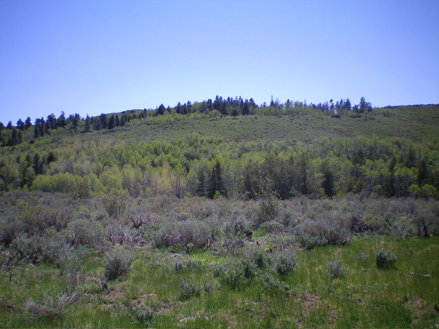
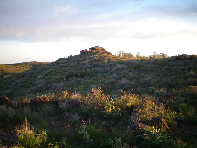
Bash up through a short patch of thick aspens/willows in a minor gully to regain the open ridge. Cruise to the rocky summit hump in easy, short scrub. The summit boulders go at Class 2 and can easily be stood upon. You might be tempted to climb directly from the road crest up the east face to the summit. However, the east face is a steep mess of thick aspens/willows and should be avoided.

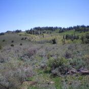
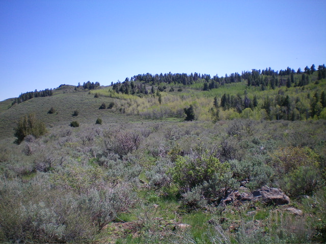
The east shoulder and lower south ridge (forested skyline) of Peak 6450. This was my ascent route. Livingston Douglas Photo
Additional Resources
Regions: South Hills->SOUTHERN IDAHO
Mountain Range: South Hills
Longitude: -114.4170 Latitude: 42.2285

