Elevation: 6,460 ft
Prominence: 280
This peak is not in the book. Published December 2024
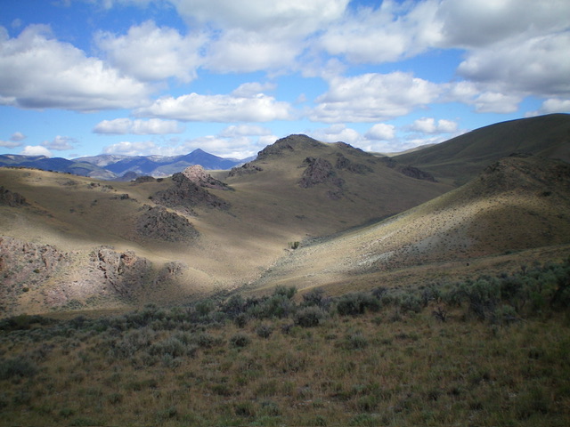
Peak 6460 sits on a ridgeline that separates First Crossing Gulch from Sage Creek. The peak is most easily climbed from Morgan Creek Road to its southwest. Peak 6460 has a rocky, ominous west face that is visible from the road. But the south ridge route avoids all of those problems. USGS Gooseberry Creek
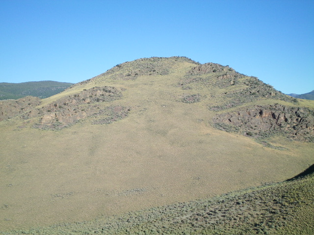
Peak 6460 as viewed from the east. The east face (dead center) was my descent route. Livingston Douglas Photo
Access
From US-93 about 8 miles north of Challis, turn left/northwest onto [signed] Morgan Creek Road. Reset your odometer here. At virtual MM4.2, reach the mouth of the Sage Creek side drainage on the right side of the road. A pullout on the left side of the road is at 44⁰39’31”N, 114⁰13’00”W. At virtual MM5.1, reach the [signed] Morgan Creek Recreation Site (left) which is at 5,554 feet (map). Park in the recreation site or at a cattle guard along the road just up from the recreation site spur road. This is the first leg of a 3-peak adventure that includes Peak 6460, Peak 7161, and Peak 7020. It covers 7.5 miles with 3,100 feet of elevation gain round trip.
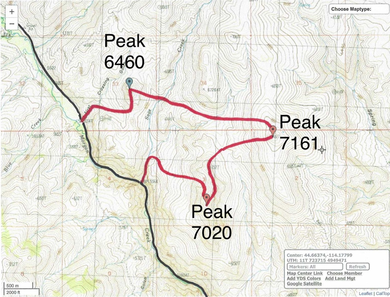
Livingston Douglas GPS Track for Peak 6460, Peak 7161, and Peak 7020. The black line is Morgan Creek Road.
West Face/South Ridge, Class 2
The Climb
From Morgan Creek Road at the Morgan Creek Recreation Site spur road junction (5,554 feet), cross to the east side of Morgan Creek Road just north of a cattle guard crossing. Leave the road and follow a cattle trail up First Crossing Gulch until it leaves the drainage and heads right/east up onto a sloped, grassy field and ends. Continue scrambling up the right/east side of First Crossing Gulch in easy field grass and head northeast, away from the drainage.
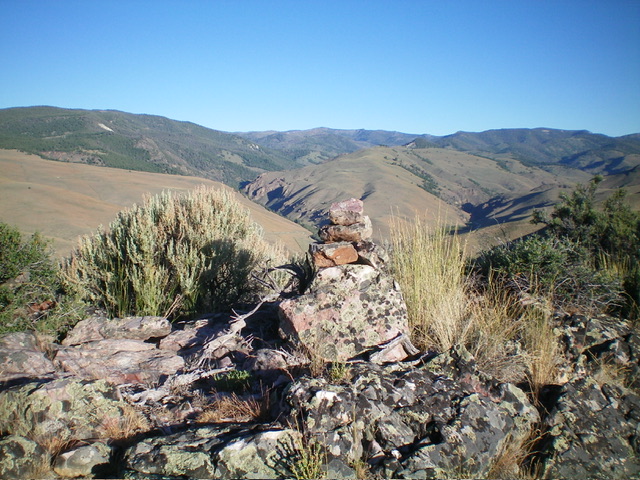
Higher up, scramble right-ish/east to follow, and cross, a dry side drainage. Climb east then northeast up more field grass to reach the south ridge of Peak 6460. Once on the ridge, scramble north up a mix of ground talus, boulders, scrub, and mountain mahogany to reach the small summit area. Two boulders vie for the designation as the high point. I built a cairn atop the north boulder, but stand on both just to be sure that you got the high point.
East Face, Class 2
The Descent
From the summit, bash eastward down the face through a steep mix of rock, scrub, and mountain mahogany to reach easier, grassy slopes below. Aim to cross a massive, dry gulch (thicker sagebrush here) then descend east to cross the Sage Creek drainage. This stream crossing is the low point between Peak 6460 and Peak 7161. It concludes the first leg of today’s 3-peak journey. Peak 7161 is up next.
Additional Resources
Regions: Eastern Salmon River Mountains->Salmon River Mountains->Southeast Corner Peaks->WESTERN IDAHO
Mountain Range: Eastern Salmon River Mountains
Longitude: -114.2192 Latitude: 44.6729
