Elevation: 6,533 ft
Prominence: 353

This peak is not in the book. Published November 2024
Peak 6533 is the first of five ranked summits on Upper Valley Road in the Soda Springs Hills. It sits above the mouth of Upper Valley. Peak 6533 is easily climbed from Upper Valley Road via its southeast side. USGS Alexander
Access
From US-30 a few miles west of Soda Springs (and 0.9 miles east of the US-30/ID-34 junction), turn north onto [signed] Oregon Trail Road. Drive 1.4 miles north up Oregon Trail Road to a signed junction with Upper Valley Road/BLM-11. Reset your odometer here. At 1.1 miles, reach a meadow with an unmapped 2-track road heading left/northwest to a cattle cistern. Drive 0.1 miles on the 2-track and park in field grass just before reaching the mud patch that surrounds the cistern. This parking spot is at 5,735 feet and 42⁰40’34”N, 111⁰42’36”W.
Southeast Shoulder, Class 2
The Climb
From the grassy side road, scramble northwest then north up onto the southeast shoulder. Stay to the right/north of a brushy gully and an uglier, steeper rib when establishing your line. Bash through some thick scrub initially then climb up through easier grass/scrub and scattered mountain mahogany to reach the crest of the ridge. Head left/northwest up a mix of easy grass/scrub, ground rock, and scattered mountain mahogany to reach the open summit of Peak 6533. There was no summit cairn so I built a modest one.

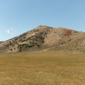
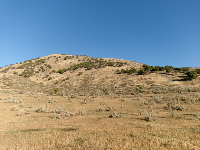
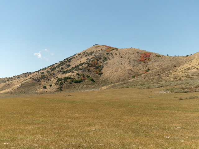
Peak 6533 (summit is left of center) and its southeast ridge (skyline in center and right of center). The southeast ridge was my ascent route. Livingston Douglas Photo
Additional Resources
Regions: Blackfoot Mountains->Soda Springs Hills->SOUTHERN IDAHO
Mountain Range: Blackfoot Mountains
Longitude: -111.7187 Latitude: 42.6798

