Elevation: 6,536 ft
Prominence: 426

This peak is not in the book. This peak is in an area identified as the Fish Creek Range. It is a small subrange of the Portneuf Range. Published November 2023
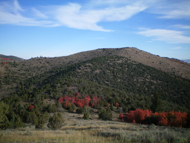
Peak 6536 is a scrub hump that sits on the east side of Beaver Basin at the south end of the Fish Creek Range in Eastern Idaho. It is most easily climbed from Beaver Dam Road to its northwest. This area is a mix of private and public land, so be careful. This climb is almost entirely on BLM land. USGS Grace Power Plant
Access
From US-30 east of Lava Hot Springs, turn south onto [signed] Hegstrom Road. This junction is located 3.4 miles east of Lund Road, 9.9 miles east of the [signed] highway to the “Pebble Area,” and 10.3 miles east of the main turnoff for Lava Hot Springs at the east end of town. Reset your odometer at the start of Hegstrom Road. At 6.4 miles, the road bends sharply right/west. At 6.8 miles, reach a signed junction with Gentile Valley Road.
Turn left/south onto Gentile Valley Road. At 6.9 miles, turn right at a signed junction with Beaver Dam Road. At 8.9 miles, reach a crest in Beaver Dam Road at a saddle/pass. Park in a pullout here (6,155 feet; 42⁰32’12”N, 111⁰51’26”W). This is the first leg of a 2-peak adventure that includes Peak 6536 and Peak 6450. It covers 4.5 miles with 1,500 feet of elevation gain round trip. This climb crosses a small patch of unposted private land on the northwest side of Peak 6536.
Northwest Face/North Ridge, Class 2
The Climb
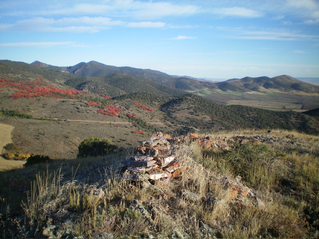
From the roadside pullout, follow an overgrown 2-track road (shown on the USGS topo map) southeast to a narrow gully and a fence row. This gully is thick with brush and tall field grass. Leave the 2-track road and cross the gully to reach the base of the northwest face of Peak 6536. Scramble southeast up through sagebrush and other brush (thick in a few spots) to reach the easier, shorter scrub of the north ridge at about 6,400 feet. Head south briefly up the north ridge to reach the open summit. There was a rocky bench on top. I added more talus to it to create a summit cairn. This high point is slightly higher than a nearby ridge hump to the southwest.
Southwest Ridge, Class 2
The Descent
From the summit, follow the open ridge of scrub southwest then south-southwest down to a minor saddle. From there, head south over Point 6340+. Bushwhack southwest down through a thick juniper forest to a point where the ridge gets quite rocky and steep. Leave the ridge and descend right/west in open scrub to reach a grass/scrub gully and an old 2-track road (shown on the USGS topo map). Hike briefly west on the road to reach the mouth of the north gully of Peak 6450. This is the low point in the traverse from Peak 6536 to Peak 6450. It concludes the first leg of today’s 2-peak adventure. Peak 6450 is up next.
Additional Resources
Regions: Fish Creek Range->Portneuf Range->SOUTHERN IDAHO
Mountain Range: Portneuf Range
Longitude: -111.8460 Latitude: 42.5299

