Elevation: 6,540 ft
Prominence: 280

This peak is not in the book. Published November 2023
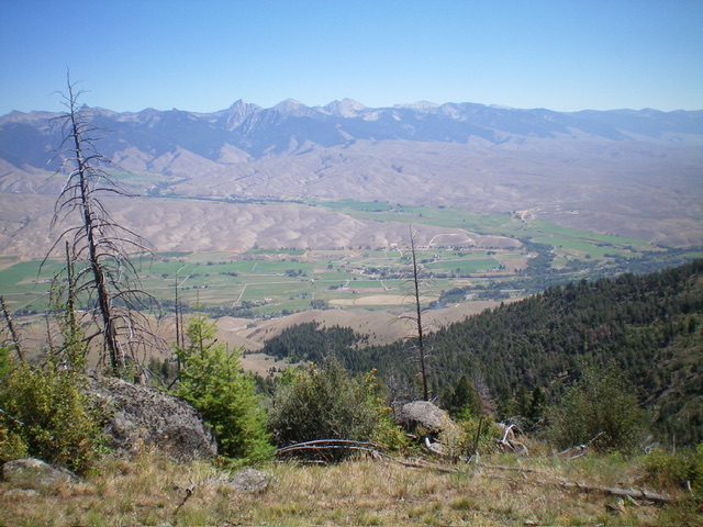
Peak 6540 is one of the foothills on the west side of the Salmon River just north of Salmon, ID. It is a rocky, forested hump that sits just south of Wallace Creek. Peak 6540 is most easily climbed via its south ridge from FSR-023. USGS Bird Creek

Peak 6540 (dead center) is a rocky hump with lots of pines and deadfall mixed in. Livingston Douglas Photo
Access
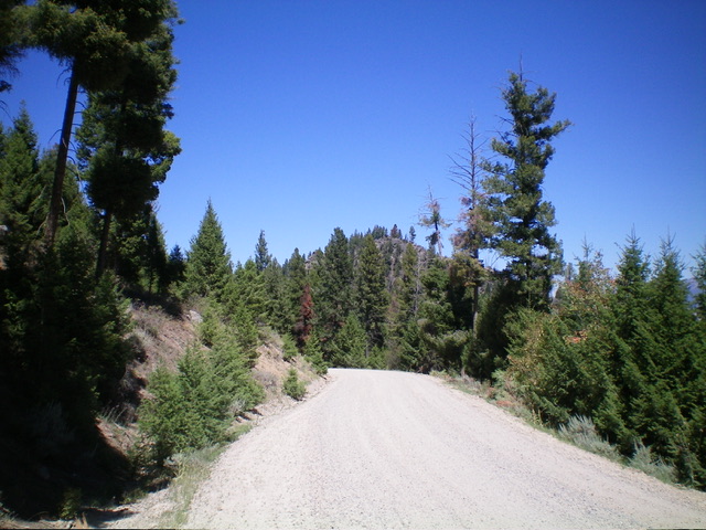
From the Sinclair Gas Station at the north end of Salmon on US-93, drive 3.1 miles north on US-93 to a signed junction with Diamond Creek Road at the Lemhi County Fairgrounds. Turn left/west onto Diamond Creek Road and reset your odometer. At 0.5 miles, the road bends hard right/north. At 0.8 miles, reach a “Y” junction. Go left onto [signed] FSR-023. At 6.9 miles, reach a large, shaded pullout/camping area on the right/east side of the road. Park here (6,260 feet; 45⁰15’17”N, 113⁰57’11”W).
South Ridge, Class 2
The Climb
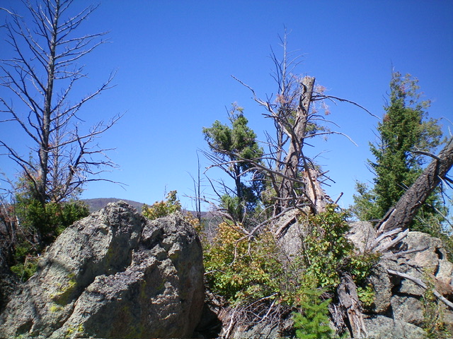
From the large pullout area, bushwhack north up through the thick pine forest. Navigate around a lot of large ridge rock/boulders with brush and deadfall mixed in. Stay on the right/east side of the ridge crest early on and then move to the left/west side higher up for the easiest going. Emerge on the rock-and-brush summit of Peak 6540 and claim victory. This peak is seldom climbed. The summit had no summit cairn atop the highest boulder and no loose rocks with which to build one.
Additional Resources
Mountain Range: Eastern Salmon River Mountains
Longitude: -113.9526 Latitude: 45.2578

