Elevation: 6,590 ft
Prominence: 300

This peak is not in the book. Published November 2024
The Caribou Range has two Lone Pine Ridges. This is the lower of the two at only 6,590 feet. The higher Lone Pine Ridge is farther south and is at 7,336 feet. Ironically, the higher Lone Pine Ridge has only 79 feet of prominence and is overshadowed by Commissary Ridge to its east. The lower Lone Pine Ridge is a ranked summit and has 300 feet of prominence. USGS Lone Pine Ridge
Access
From US-26 northeast of Idaho Falls, turn south onto Mud Springs Road (signed for “Ririe Reservoir”) and reset your odometer. At 6.0 miles, reach a signed junction with Meadow Creek Road. Continue straight on Mud Springs Road. At 7.7 miles, reach an unsigned junction. Go straight/southeast. At 8.2 miles, bear right/south at an unsigned “T” junction. At 9.6 miles, go right/south at an unsigned junction.
At 10.3 miles, Mud Springs Road bends hard right/west. At 11.8miles, reach an unsigned junction. Go right/southwest here. At 12.5 miles, reach an unsigned junction. Go left/south here. At 14.2 miles, reach a large roadside pullout with a large information board after entering the Tex Creek Wilderness Management Area (signed). This pullout is at 6,240 feet and 43⁰27’34”N, 111⁰39’14”W.
East Spur/East Face, Class 2
The Climb
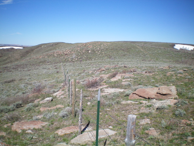
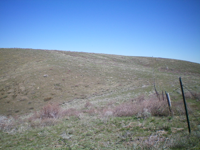
From the pullout, cross the road and bushwhack northwest to quickly reach the fence row that separates public land from aggressively-posted private land. This route stays entirely on public land. Follow the scrub (and some boulders) on the left/south side of the fence row as it heads west through undulating terrain just below the east spur. Upon reaching a fence corner higher up, head right/north along the left/west side of the fence row up to a bluff. From there, follow the remnants of an old 2-track road left-ish/northwest to the summit.
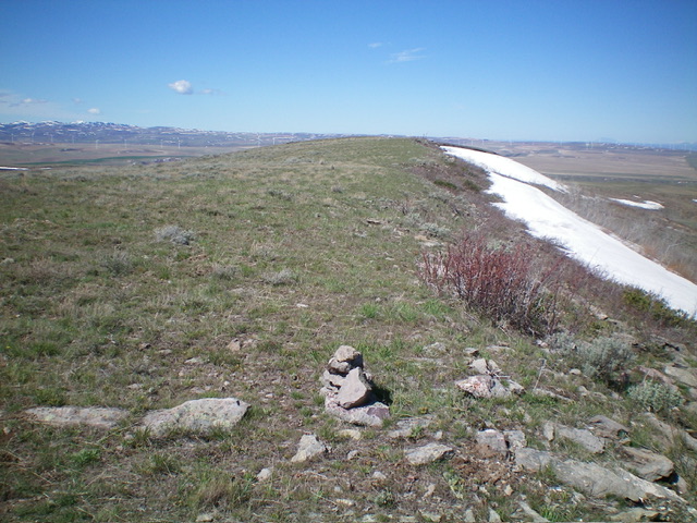
Contrary to LOJ, the high point of Lone Pine Ridge is on the northeast corner of the tilted summit plateau and has a sharp drop to its northwest. The ridge descends gradually from here as it heads southwest. I built a small cairn atop the highest ground boulder. Were it not for private land, it would be much easier to reach the summit from the road via the northeast ridge.

Heading up the east spur, following the fence row. This was my ascent route. Livingston Douglas Photo
Additional Resources
Regions: Caribou Range->SOUTHERN IDAHO
Mountain Range: Caribou Range
Longitude: -111.6686 Latitude: 43.4628

