Elevation: 6,610 ft
Prominence: 310

This peak is not in the book. Published November 2020
Peak 6610 is a scrub-covered hump that is situated on the west side of Holloway Canyon and the south side of Rock Creek in the Sublett Mountains. It is overshadowed by its neighbor to the southeast, Quaking Aspen Mountain (7,230 feet). Peak 6610 is most easily climbed from Crazy Canyon Road/FSR-606 and its east side. USGS Sublett Troughs

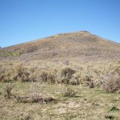
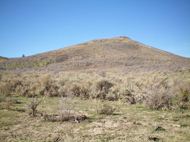
Peak 6610 as viewed from the parking pullout. The summit is right of center. Livingston Douglas Photo
Access
From the junction of ID-38 and ID-37 in Holbrook, drive northwest on ID-37 to a [signed] junction with Meadowbrook Road/BLM-027. Turn left/southwest onto BLM-027 and drive 1.3 miles to a [signed] junction. Go right/north onto Kress Road and drive 6.5 miles to an unsigned junction. Go left onto Holloway Canyon Road/BLM-025 and reset your odometer. At 1.7 miles, reach BLM land at a cattle guard. At 3.3 miles, reach a [signed] junction. Go left onto Crazy Canyon Road/BLM-606. At 3.7 miles, park in a pullout alongside the road (6,025 feet).
East Face/East Shoulder, Class 2
The Climb
From the parking pullout, Peak 6610 is due west. It is the middle of three humps. Point 6383 lies to the right/north and Point 6556 lies to the left/southwest. Be sure to aim for the correct hump to minimize your sagebrush-bashing efforts. Peak 6610 has a notable cliff band just below its summit ridge. Bushwhack west across tall sagebrush and other brush (with decent gaps) to reach a dry, scrub-free gully. Cross the gully to reach a shoulder and easier scrub. Upon reaching the crest of the shoulder, go right/west-northwest and scramble up to a hump at the east end of the summit ridge. Continue west, dropping 10-15 feet to a minor saddle, to the summit of Peak 6610. There is a small cairn on top.
Additional Resources
Regions: SOUTHERN IDAHO->Sublett Range
Mountain Range: Sublett Range
Longitude: -112.89229 Latitude: 42.26279