Elevation: 6,612 ft
Prominence: 312

This peak is not in the book. Published November 2024
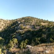
Peak 6612 is the high point on a ridge that separates East Bob Smith Creek from Beach Hollow. It towers above the Portneuf River to its south. This area is a mix of private and public land, so be careful. Peak 6612 is most easily climbed from the Old Oregon Trail Road to its south. USGS Haystack Mountain

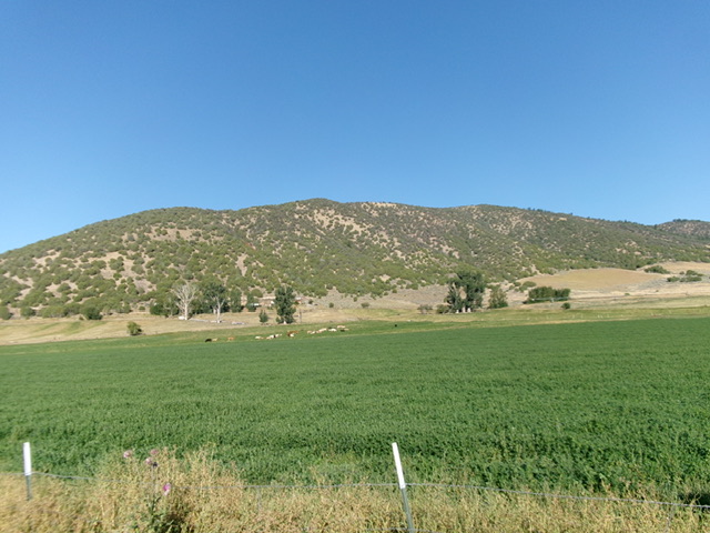
Peak 6612 and its lengthy southeast ridge (skyline left of center) and north ridge (skyline right of center) as viewed from the valley floor to its east. Livingston Douglas Photo
Access
From US-30 about two miles west of Lava Hot Springs (and 10.3 miles east of I-15 at Exit 47/McCammon), turn west onto [signed] Old Oregon Trail Road and park in a large pullout at a bend in the road about 100 feet from US-30. This junction is just east of a bridge crossing of the Portneuf River at virtual MM369.1. The parking pullout is at 5,000 feet and 112⁰02’44”N, 42⁰37’15”W.
Southeast Ridge, Class 2
The Climb
This route begins on unposted private land with no orange paint, so be advised. From the roadside pullout, bushwhack right/east up a small hill. Head north across two sets of [active] UPRR tracks and move a bit left/west to enter a dry gully. Cross a dilapidated fence row then scramble north up this gully in easy scrub to reach open grass and scattered junipers on the broad, rounded southeast ridge. Head northwest up the easy grass ridge to reach BLM land at just over 5,400 feet and an old, rusty cattle fence.
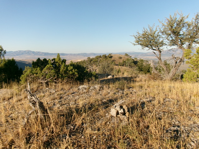
The ridge terrain is now forested with junipers and mountain mahogany. Bushwhack up easy grass in gaps between the trees. Scramble up over a few ridge humps to reach the final push up the semi-open, forested ridge to the summit. There are occasional game trails on or near the ridge crest to help with this relatively easy bushwhack. The high point had no summit cairn, so I built a small one. Based on visuals, the [measured] northeast summit hump is the high point, not the open southwest summit (Point 6600+).

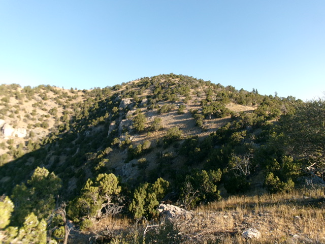
Peak 6612 (dead center) as viewed from high on the southeast ridge. This was my ascent route. Livingston Douglas Photo

The newly-built summit cairn atop Peak 6612 with the [lower] southwest summit in the distance. Livingston Douglas Photo
Additional Resources
Regions: Portneuf Range->SOUTHERN IDAHO
Mountain Range: Portneuf Range
Longitude: -112.0583 Latitude: 42.6363