Elevation: 6,620 ft
Prominence: 320

This peak is not in the book. The private land may or may not be open to the public. It is always best to get permission. Published November 2024
Peak 6620 sits above both Saw Log Basin and Wolverine Basin in the Blackfoot Mountains. It is located due west of the more popular (and impressive) Taylor Mountain (7,404 feet). Nonetheless, Peak 6620 is a worthy climbing objective and provides magnificent views of the surrounding area. While Peak 6620 is on private land, I saw no prohibitions against entry and saw much evidence of ATV riders on the 2-track roads discussed. USGS Wolverine

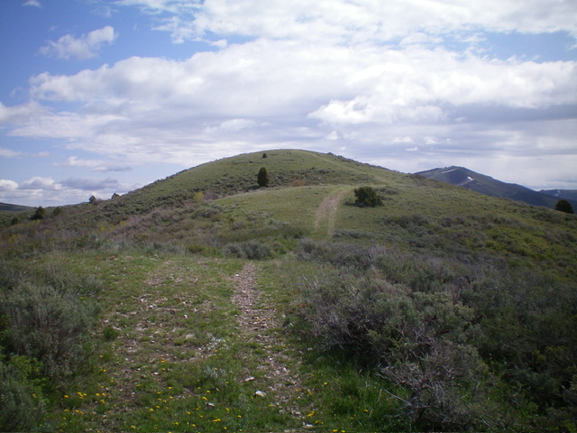
Peak 6620 (summit is at far right) and its south ridge (left of center then skyline in center). This was my ascent route. Livingston Douglas Photo
Access
From the south end of Firth, ID on US-91, drive 1.7 miles south on US-91 to [signed] East 600N. This is Wolverine Road, a well-maintained county road. Turn left/east onto paved Wolverine Road and reset your odometer. At 10.2 miles, go straight at a junction with [signed] Blackfoot River Road to stay on Wolverine Road. At 14.1 miles, after driving through The Narrows, there is a large gully and grassy pullout on the left/north side of Wolverine Road. Park here (5,375 feet and 43⁰16’46”N, 111⁰57’28”W).
Wolverine Road is paved to just before entering The Narrows. It then becomes a well-graded, smooth dirt/gravel road. Please note that the route described crosses a short patch of private land early on and the entire south ridge (and summit) is on unposted, unfenced private land. I encountered no fencing or signage to prohibit entry.
Map Errors
There are many more old 2-track roads in this area than are shown on the USGS topo map.
South Ridge, Class 1
The Climb
From the grassy parking area, hike northwest then north up an old 2-track road (not shown on maps) to a large meadow of short grass. You will encounter a smaller meadow prior to reaching this one. The old road turns into a cattle trail in some sections and is quite wet/muddy in spots. The 2-track disappears in this grassy meadow. Walk to the top of the meadow to find a “T” junction with a better 2-track road (shown on the USGS topo map). Go left/west onto this 2-track road and follow it west then briefly right/north then west to a critical junction in open terrain at a saddle that connects Peak 6620 to Peak 6420 to the south.
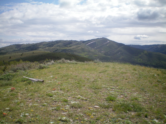
This saddle sits at the base of the south ridge of Peak 6620. From the saddle, head right/north up an old 2-track ridge road as it follows the ridge crest in short scrub and gravel/scree to a road junction at 6,294 (map). Continue north then northeast up the ridge road to the bare summit. There are three minor ups and downs on the road hike up the south ridge. The summit had no cairn so I built a small one. The summit has two large posts laying on the ground.
Additional Resources
Regions: Blackfoot Mountains->SOUTHERN IDAHO
Mountain Range: Blackfoot Mountains
Longitude: -111.9671 Latitude: 43.2965

