Elevation: 6,620 ft
Prominence: 440

This peak is not in the book. Published November 2024
Peak 6620 is one of the northern foothills of the Deep Creek Mountains. It is located on the west side of Arbon Valley in an area of both private and public land. This route is entirely on BLM land. USGS Bannock Peak

Peak 6620 as viewed from the valley floor to its east. The east ridge is the skyline right of center. The summit is left of center. Livingston Douglas Photo
Access
From Exit 52/Arbon Valley on I-86, drive south on [paved] Arbon Valley Road. At virtual MM23.6, reach a signed junction with South Mink Creek Road (left). Continue straight/south on Arbon Valley Road. At virtual MM24.9, reach a signed junction with England Road/4500S (right). Turn right/west onto England Road and reset your odometer. At 1.0 miles, reach a signed junction with Bailey Road. Continue straight/west on England Road.
At 2.4 miles, reach the end of England Road at a parking area (42⁰32’48”N, 112⁰36’19”W). The road now becomes a rutted, poorly-maintained BLM 2-track road. At 3.3 miles, park alongside the rutted road in field grass (5,500 feet and 42⁰32’26”N, 112⁰37’15”W). If road conditions permit, continue another 0.2 miles to the BLM boundary and a decent parking area. This is Green Canyon.
Map Errors
LOJ’s land management map shows the BLM land boundary shifting west TWICE between Dorys Canyon and Stump Hollow Canyon. However, there is only one westward shift (the first/southern one). Stay just left/west of a fence row and you will remain on BLM land the entire way to Stump Hollow Canyon and the east ridge of Peak 6620. This change also reduces the extra ups/downs required to do this climb.
East Ridge, Class 2
The Climb
From the improvised parking pullout, hike about 0.2 miles west up Green Canyon on the 2-track BLM road to reach the BLM land boundary and a cattle fence crossing. Leave the road here and bushwhack north along the left/west side of a cattle fence (using a cattle trail when available) across a few shoulders and gullies/canyons to reach a final shoulder that sits above Stump Hollow Canyon. From this ridge crest, follow an unmapped 2-track that heads left-ish/northwest down to Stump Hollow Canyon and a 2-track road that heads up the canyon.
Cross to the north side of 2-track road in Stump Hollow Canyon to reach the base of the south side of the east ridge of Peak 6620. Bushwhack northwest up a shoulder (of sorts) in loose scree (initially) and gapped, somewhat-thick scrub. Thankfully, the scrub shortens and thins out higher up. The shoulder ends on the crest of the east ridge. The east ridge is rounded and wide open with easy, short grass/scrub. Follow the meandering ridge crest west then southwest then west to the head of a massive gully to the right/north.
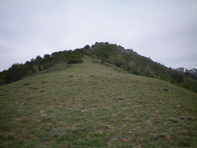
Cross a saddle (of sorts) and scramble northwest up a shoulder of thick-ish scrub with ample open areas and gaps to reach the open high ridge at about 6,400 feet. Head left/southwest in open terrain on the ridge crest. Higher up, scramble through thicker scrub and mountain mahogany (with some ridge rock) to reach the rocky northeast summit, which is a very small ridge point. The true summit is not visible from here and you might think that you are on top, but you are not. Bushwhack southwest through junipers and mountain mahogany and descend 20 vertical feet to an open saddle. From that saddle, continue southwest up easy, open scrub to the cairned summit of Peak 6620.

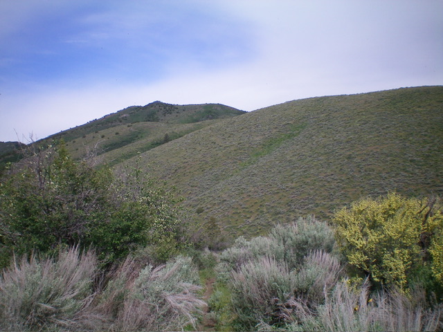
Looking up the east ridge early in the ascent. My route climbs from the far left diagonally right up onto the high ridge then follows the skyline left to the summit area, which is just left of center. Livingston Douglas Photo

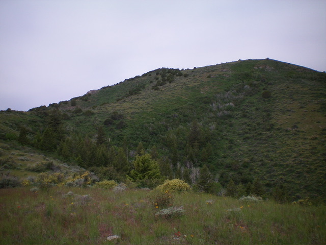
Looking up the upper east ridge. The summit hump is hiding behind the rocky, forested northeast summit in dead center. Livingston Douglas Photo
Additional Resources
Regions: Deep Creek Mountains->SOUTHERN IDAHO
Mountain Range: Deep Creek Mountains
Longitude: -112.6469 Latitude: 42.5589