Elevation: 6,620 ft
Prominence: 320

This peak is not in the book. Published May 2021
Half Moon Peak is located northeast of Rough Mountain and just east of Half Moon Pass. This broad peak contains a number of summit points. The centermost point is the highest one. I suspect that most people who have visited its summit either did so after climbing Rough Mountain or while on the way to Rough Mountain. USGS Rough Mountain

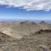
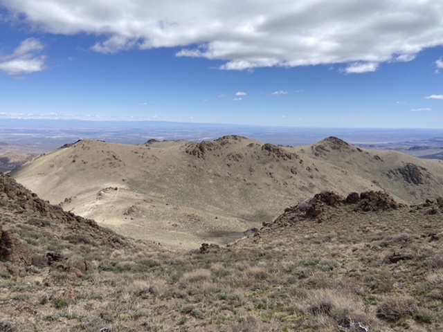
The summit of Half Moon Peak as viewed from Rough Mountain’s Northeast Ridge is just right of center. Drop down this slope to reach Half Moon Pass.
Access
From the junction of ID-167 and ID-78 in Grand View, Idaho, drive east on ID-78 for 2.1 miles. Continue straight on the paved Mud Flat Road and follow it for 21.0 miles to an unsigned junction with the 2-track that runs up Lower Juniper Creek. Turn onto the 2-track. This road eventually leads all the way to Half Moon Pass. There is a parking spot for cars about 100 yards from the Mud Flat Road and another for 4WDs at 0.4 miles from the Mud Flat Road. This road eventually reaches Half Moon Pass albeit by a long and winding route. After the second parking spot, the road is best suited for foot, mountain bike, or ATV travel.
Rough Mountain Traverse, Class 2
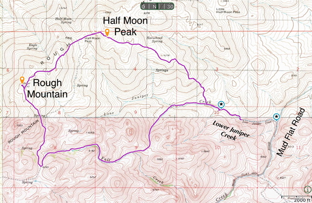
From the range fence below the summit of Rough Mountain, follow a faint ATV track northeast. This track becomes more defined as it descends toward Half Moon Pass. You can follow this track the entire way to the pass or make a Class 2 drop off the ridge as shown on the GPS track below. From the pass, ascend the peak’s west slopes to the ridge top then turn southeast and climb the small summit block.

My GPS track for Rough Mountain and Half Moon Peak. This route covered 8.2 miles with just over 2,400 feet of elevation gain.
Southeast Ridge, Class 2
This is the most direct route to the top. The southeast ridge is steep in places but is without obstacles. Start up the ridge from a point roughly 200 yards past the first range fence that crosses the access road.
Additional Resources
Regions: Owyhee Mountains->SOUTHERN IDAHO
Mountain Range: Owyhee Mountains
Year Climbed: 2021
Longitude: -116.35059 Latitude: 42.76419
