Elevation: 6,623 ft
Prominence: 403

This peak is not in the book. Published November 2024
Peak 6623 sits atop a minor ridge that separates North Canyon from Smith Canyon in the north end of the Fish Creek Range. This area is a mix of private and public land, so be careful. If public access is allowed, Peak 6623 is most easily climbed from North Canyon Road to its southeast. USGS Bancroft
Access
From US-30 at virtual MM371.7 (0.4 miles east of Lava Hot Springs), drive north on the [signed] Pebble Highway to a large, paved pullout on the right/east side of the highway. This pullout is 3.1 miles south of Kelly Toponce Road and is at 5,290 feet and 42⁰43’29”N, 112⁰00’14”W. This climb is entirely on BLM land.
West Ridge, Class 2/2+
The Climb
From the large pullout area, bushwhack right-ish/south up through thick brush and steep rock (Class 2+) to quickly reach the semi-open ridge crest of grass/scrub and mountain mahogany. Follow the narrow, thick-ish ridge crest east-southeast up to a flat area of thick grass/scrub. Bushwhack east up a shoulder (then face) of mostly field grass (with some brush) to reach a ridge crest. Head right/south then southeast up this ridge crest in easy grass/scrub with underlying scree. This ridge soon bends south and reaches a junction with the north ridge of Point 6483 at about 6,400 feet.
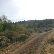
At this junction, look for a 2-track road (not shown on maps) that heads left/east down from the ridge crest and through a pine forest. Follow this old 2-track east 100 vertical feet down to an open meadow and an unsigned junction with a decent jeep road (this road IS shown on maps). Follow this jeep road east then southeast as it climbs to cross a fence row (shown on maps). The road then drops slightly to reach an unsigned junction. The good jeep road goes right/south here. Go straight/east onto a weaker 2-track road that follows the right/south side of a fence row.
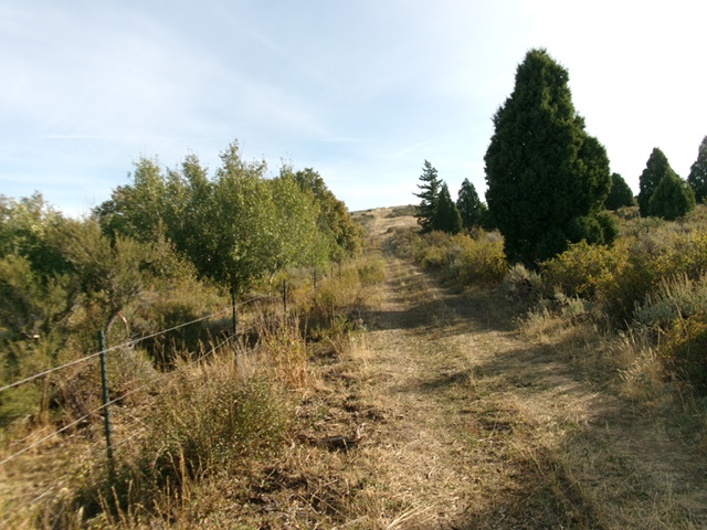
The fence row (and 2-track road) soon make a sharp left/northeast turn to head up to the elongated summit plateau. Follow the road up onto the summit plateau and head to the northeast end of the plateau to reach the high point of Peak 6623. There was no summit cairn so I built a small one with the few loose rocks that I could find.
On the descent, I followed a shoulder that is south of the ascent ridge to reach the roadside pullout. This variation avoided the Class 2+ rock/brush of the ascent route but required a bushwhack through thick brush to reach a cattle trail that skirts the west side of the rocky prow at the bottom of the west ridge and leads back to the roadside pullout area.

Looking up the final section of 2-track road (and fence row) to the summit plateau of Peak 6623. Livingston Douglas Photo
Additional Resources
Regions: Fish Creek Range->Portneuf Range->SOUTHERN IDAHO
Mountain Range: Portneuf Range
Longitude: -111.9668 Latitude: 42.7189

