Elevation: 6,625 ft
Prominence: 885

This peak is not in the book. The name was proposed by Rick Baugher due to its proximity to the Standing Rock formation. Published December 2024
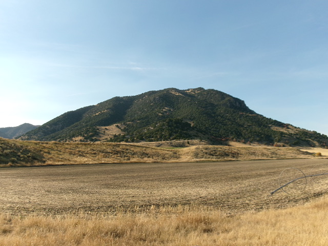
Peak 6625 is a rocky, forested hump that towers over Weston Canyon in southeast Idaho. It is most easily climbed via its west face. However, that route is now blocked by posted, private ranch land. A steep, directly climb up from Standing Rock to its northeast now seems to be the most feasible route. It is signed as Caribou National Forest land. This area is a mix of private and public land, so be careful. USGS Weston Canyon
Access
Park in the large roadside pullout for Standing Rock along ID-36. This pullout is at virtual MM113.8 and is 1.1 miles north of the [signed] Caribou National Forest boundary. The pullout is at 5,370 feet and 42⁰06’25”N, 112⁰05’21”W.
Northeast Shoulder, Class 3
The Climb
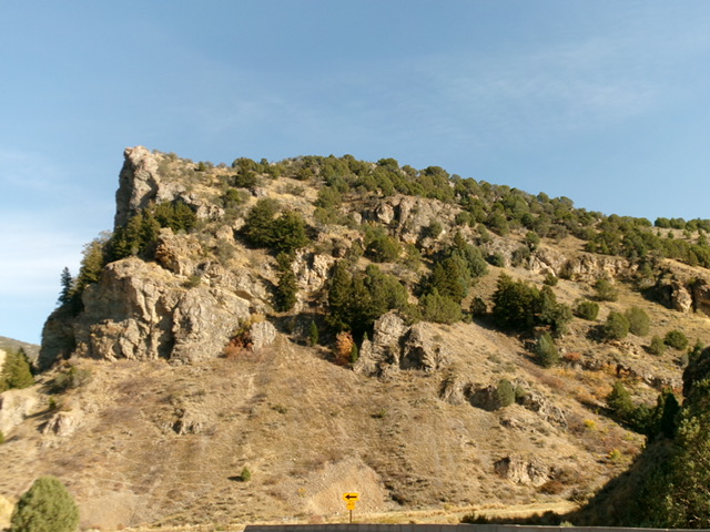
The LOJ land management map shows this as private land. However, the highway signage suggests that it is Caribou National Forest land as does the USGS topo map. There is no signage, orange paint, irrigation, or cattle grazing to suggest that it is private land inside the National Forest. Undertake this climb at your own risk. Standing Rock appears to be open to the public. However, it is a Class 5 tower that requires rock-climbing skills. No one on LOJ has recorded an ascent of Standing Rock as of 2024.
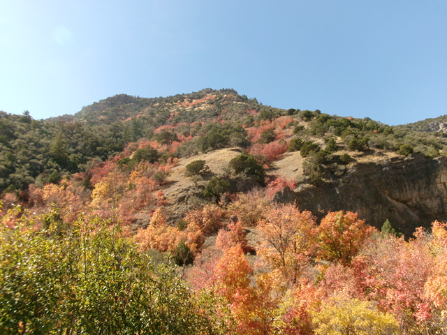
From the roadside pullout, cross a dilapidated cattle fence and descend 20 vertical feet in thick brush and forest to cross [dry] Weston Creek. Scramble up a steep, gravel face on the west side of the creek drainage and begin a very STEEP climb up a mix of open grass/scrub, mountain mahogany, and a few large, rocky outcrops. There are a few small areas of maples but not much. Just grind it out and deal with the underlying loose scree/gravel in many spots. You will be on all fours at times to make upward progress.
The rocky outcrops are Class 3 work to climb and to downclimb on the descent. Either climb over them or skirt around them. The northeast shoulder is rounded and ill-defined in a few spots but the ridge always reappears. It is forested all the way to the summit. Skirt the mountain mahogany trees on the ridge crest as necessary to advance. It is a steep, slow grind up this shoulder. Thankfully, it is only about ½ mile from the highway to the summit. The small summit perch has two pieces of rebar protruding from the ground and a decent cairn.
Additional Resources
Regions: Bannock Range->Malad Range->SOUTHERN IDAHO
Mountain Range: Bannock Range
First Ascent Information:
- Other First Ascent: Northeast Shoulder
- Year: 2024
- Season: Summer
- Party: Livingston Douglas
Longitude: -112.0964 Latitude: 42.1040


