Elevation: 6,665 ft
Prominence: 295

This peak is not in the book. Published November 2024
Peak 6665 is a pyramidal hump that sits above Lower Valley in the Wooley Range of eastern Idaho. It is entirely on private land. You must obtain permission before undertaking this climb. USGS Lower Valley
Access
From ID-34 near the southeast corner of Blackfoot Reservoir, turn right/east onto [signed] Blackfoot River Road and reset your odometer. This road junction is 0.3 miles north of China Cap Road. Drive east (then southeast) on Blackfoot River Road, a well-maintained county road. At 9.5 miles, reach an unsigned junction with a side road heading left/north. Park at a cattle fence on this side road near its junction with Blackfoot River Road (6,335 feet; 42⁰47’11”N, 111⁰24’06”W). This is unposted, private land.
East Ridge, Class 2
The Climb
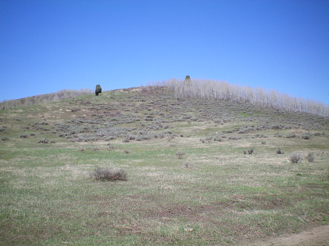
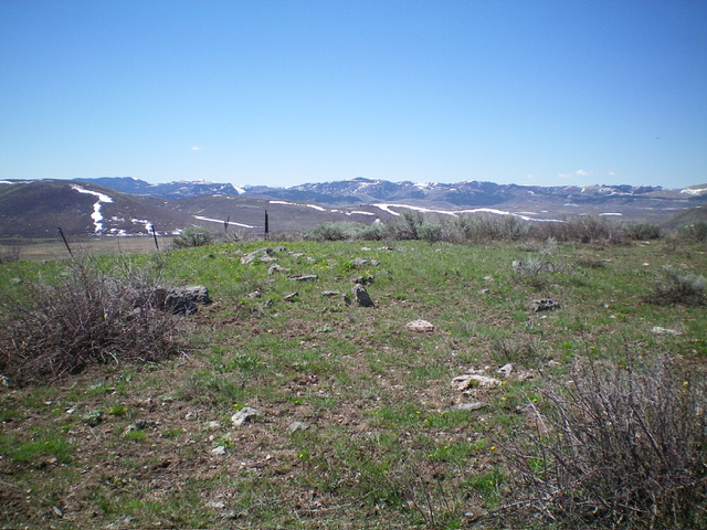
From the side road, bushwhack west up through easy grass/scrub to quickly reach a gapped aspen/pine forest. The forest soon becomes thick but open scrub (and an ascending east-west fence row) is nearby to the left/south. Follow the right/north side of a fence row that heads up the left/south side of the ridge crest. A cattle trail helps in getting through the thick brush and forest. The Allen Ranch (which aggressively posts its property) probably owns the land south of the fence row on the east ridge, so it is best to stay north of the fence row on or near the ridge crest. The terrain is not too steep and goes quickly. The summit of Peak 6665 is bare and open and has no summit cairn.

Looking up the brushy, forested east ridge of Peak 6665 from its base (start of climb). Livingston Douglas Photo
Additional Resources
Regions: Peale Mountains->SOUTHERN IDAHO->Wooley Range
Mountain Range: Peale Mountains
Longitude: -111.4091 Latitude: 42.7856

