Elevation: 6,711 ft
Prominence: 331

This peak is not in the book. Published November 2024
Peak 6711 is one of several ranked summits in the northern ramparts of the Caribou Range. It sits above Trail Creek to its east and the Indian Fork of Tex Creek to its south. This area is a mix of private and public land, so be careful. This climb is entirely on public land. USGS Point Lookout

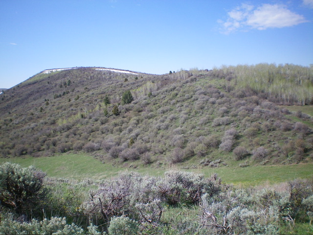
Peak 6711 as seen early in the undulating climb. The summit is at far left. Livingston Douglas Photo
Access
From US-26 exactly 24.1 miles east of the Idaho Falls Caribou-Targhee National Forest Service Office, turn right/south onto [signed] Antelope Creek Road and reset your odometer. At 3.1 miles, go left at an unsigned junction. At 6.0 miles, go right at an unsigned junction. At 6.9 miles, go right/north at an unsigned “T” junction.
At 10.0 miles, the road reaches an unsigned junction with Trail Creek Road. Go left/south onto Trail Creek Road (a public access road through private land). At 12.5 miles, reach an unsigned junction with a 2-track side road heading west at a small crest in the road. Park here (6,395 feet and 43⁰26’59”N, 111⁰37’05”W. Antelope Creek Road is a badly rutted dirt road so be advised. Do not drive it in wet conditions.
North Ridge, Class 2
The Climb
From the road junction, walk west up the 2-track road to get past the trees/brush and reach an open field of very short grass/veg. Leave the road and head left/south on the east edge of this field then angle southwest to skirt the west side of Point 6538, staying in open fields or easy scrub. Cross underneath a tight fence row (with orange paint on it) at the State of Idaho/BLM land line.
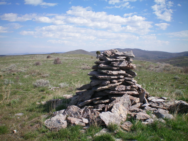
There is not supposed to be any private land up here, but perhaps the orange paint indicates that there is. From an open saddle of short grass/scrub, bushwhack up through a mix of thick aspens and thick scrub to reach the tilted summit plateau/ridge. Continue south on easy, short grass/scrub to the large summit cairn on the high point.

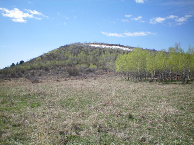
The push to the summit plateau of Peak 6711, as viewed from the final open field. Livingston Douglas Photo
Additional Resources
Regions: Caribou Range->SOUTHERN IDAHO
Mountain Range: Caribou Range
Longitude: -111.6200 Latitude: 43.4376
