Elevation: 6,751 ft
Prominence: 451

This peak is not in the book. Published November 2024
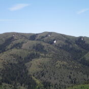
Peak 6751 is the high point on a ridge that separates Houtz Canyon from Smith Canyon in the Sublett Range of southern Idaho. It is most easily climbed from Houtz Canyon Road to its west. USGS Hartley Peak
Access
From ID-37 in Rockland, reset your odometer and drive west on [signed] Center Street (which soon becomes Houtz Canyon Road). At 2.9 miles, reach a signed junction with Miller Road (right). Continue straight on Houtz Canyon Road. At 5.6 miles, reach a signed junction with Dairy Canyon Road (right). Continue straight on Houtz Canyon Road. At 5.7 miles, reach the BLM boundary. Houtz Canyon Road now becomes [signed] BLM-660. At 10.0 miles, reach the Sawtooth National Forest boundary and a cattle guard/fence row. Park at the base of a 2-track side road that heads west up the fence row. This parking area is at 5,680 feet.
West Ridge, Class 2
The Climb
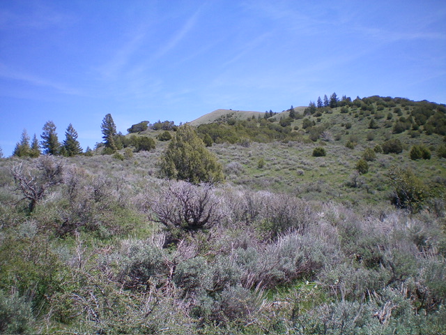
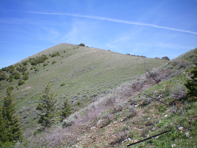
From the National Forest boundary on Houtz Canyon Road, follow the fence row east as it climbs the weaving west ridge of Peak 6751 all the way to a saddle just below the summit. This bushwhack is a mix of thick-ish sagebrush and short scrub. It is mostly gapped but there is some sagebrush bashing to be done. There is no obvious trail along the fence row but there are lanes/gaps in the sagebrush. Stay on the ridge crest (easier scrub) when the fence row temporarily leaves the ridge crest. The west ridge does considerable weaving but the bushwhack is not too bad. There are no trees and it is all open scrub. The summit had no cairn so I built one. It is clearly the high point.

Looking up the brushy west ridge about midway up. The summit is the bare hump in the distance just left of center. Livingston Douglas Photo

The final push to the bare summit of Peak 6751. The summit hump is elusive. It sits behind the final ridge point left of center. Livingston Douglas Photo
Additional Resources
Regions: SOUTHERN IDAHO->Sublett Range
Mountain Range: Sublett Range
Longitude: -112.9846 Latitude: 42.4919
