Elevation: 6,781 ft
Prominence: 331

This peak is not in the book. The summit of this peak is privately owned. The unofficial name was suggested by Rick Baugher. Published November 2024
Peak 6781 is located on a ridgeline on the west side of Paradise Valley in the Blackfoot Mountains. It is most easily climbed from a well-maintained county road (Paradise Road) to its north. USGS Paradise Valley

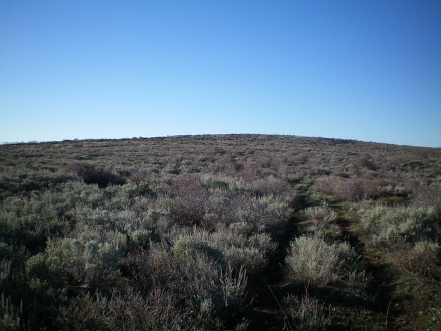
Peak 6781 (a gradual, sagebrush hump/ridge) as viewed from high on the north ridge. Livingston Douglas Photo
Access
From Exit 116 (Sunnyside Road) on I-15 in Idaho Falls, drive east on Sunnyside Road to its end at a signed “T” junction with Bone Road. This junction is 9.1 miles east of Ammon Road. Turn right/south onto Bone Road and drive 8.5 miles south to a signed junction with Blackfoot Reservoir Road, 0.3 miles south of Bone. Turn right/west onto Blackfoot Reservoir Road. The road quickly bends left/south and begins its journey to Blackfoot Reservoir. Drive 15.7 miles on Blackfoot Reservoir Road to a signed junction with Paradise Road (labeled as Brush Creek Road on the USGS topo map) at Four Corners.
Turn right/southwest onto Paradise Road and drive 6.4 miles to acrest in the road at the base of the north ridge of Peak 6781. Park here (6,510 feet; 43⁰04’47”N, 111⁰50’08”W) or drive 0.1 mile west on a 2-track road to a large water tank and a large parking area with a couple of cisterns nearby. This area is a mix of private and public land, so be careful. Most of this climb is on BLM land but the summit is on unposted private land.
Alternate Access
If driving up from the south (i.e., ID-34), here are the driving directions. From ID-34 at the southeast corner of Blackfoot Reservoir, turn left/west onto [signed] China Cap Road and drive 4.0 miles to its end at a “T” junction with [signed] Government Dam Road. Turn right/north onto Government Dam Road and drive 17.3 miles to a major signed junction at the northwest corner of Blackfoot Reservoir. Continue north on Blackfoot Reservoir Road (signed for Idaho Falls) and drive 4.8 miles to a signed junction with Paradise Road. Turn left/west onto Paradise Road and drive 6.4 miles to the aforementioned road crest.
Map Errors
There is a critical ridge road (an old 2-track) that heads up the north ridge of Peak 6781. This old road is not shown on maps. The USGS map shows a 4WD road coming up the east side of Peak 6781 and climbing up onto the north ridge. That road no longer exists.
North Ridge, Class 2
The Climb
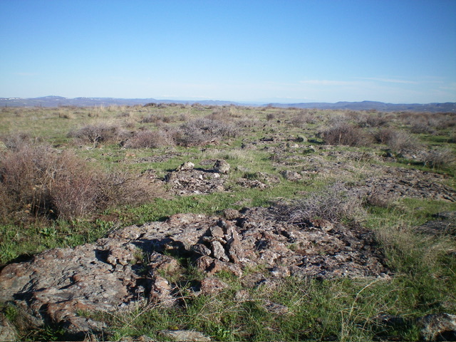
From the road crest, hike west up a 2-track road to a large water tank. Continue left/southeast on a weak, overgrown 2-track road as it follows the ridge southeast then south to reach an east-west fence row. Leave the road here and follow a weak cattle trail left/east up the left/north side of the fence row to quickly reach a fence corner that is just northwest of the summit area. Jump to the southeast side of the fence corner and bushwhack through easy sagebrush to the illusive high point at the southeast end of the slightly-tilted summit plateau. There was no summit cairn so I built one on the high point.

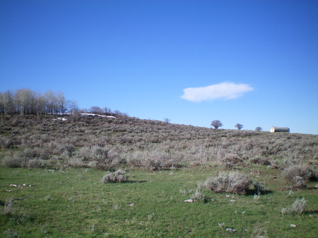
The base of the north ridge (start of hike). Follow a 2-track to the large water tank then head left up the ridgeline on the remnants of an old 2-track. Livingston Douglas Photo
Additional Resources
Regions: Blackfoot Mountains->SOUTHERN IDAHO
Mountain Range: Blackfoot Mountains
Longitude: -111.8252 Latitude: 43.0627
