Elevation: 6,820 ft
Prominence: 440

This peak is not in the book. Published November 2023
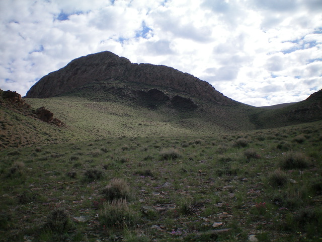
Peak 6820 is a rocky, pyramidal hump that is located on the east side of ID-75 and the Salmon River. While the USGS topo map makes the high point appear as a pinnacle or rocky tower, it is not. A reasonable Class 3 scramble up the southeast face puts you on top. USGS Bald Mountain
Access
Same as for Peak 7183. This is the second leg of a 2-peak adventure that includes Peak 7183 and Peak 6820. It covers 4.5 miles with 2,550 feet of elevation gain round trip. It is entirely on BLM land.
Southeast Face, Class 3
The Climb
From the 6,300-foot low point in the traverse from Peak 7183 to Peak 6820, scramble north then northwest out of the gully to reach the base of the southeast face. The terrain here is sagebrush and is not difficult. Bushwhack northwest up through a bit thicker sagebrush to reach the rocky section of the southeast face. Climb the final 200 vertical feet is on steep, unreliable boulders and face rock/ledges (firm rock) to reach the south ridge just below the summit. The summit of Peak 6820 is a small perch with a modest cairn.
South Ridge, Class 3
The Descent
From the summit, descend the rocky, choppy south ridge on many slanted fin tops (or skirt just left/east of them) to reach the final bottom section of ridge outcrops/towers. Leave the ridge crest here and descend left/southeast to reach easier scrub terrain below. Cruise south then southwest down to the sagebrush basin that separates Peak 6820 from Peak 7183. From there, retrace the ascent route for Peak 7183 to return to ID-75 and your parked vehicle.

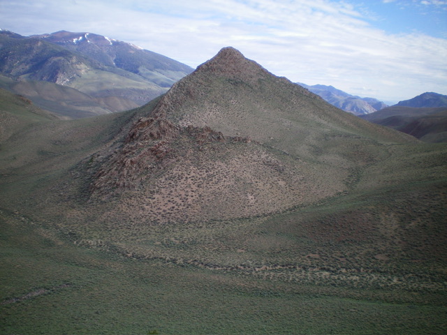
A profile view of the rugged, choppy south ridge of Peak 6820. This was my descent route. The summit is left of center. Livingston Douglas Photo
Additional Resources
Regions: Boulder Mountains->EASTERN IDAHO
Mountain Range: Boulder Mountains
First Ascent Information:
- Other First Ascent: South Ridge (Descent)
- Year: 2023
- Season: Summer
- Party: Livingston Douglas
Longitude: -114.2850 Latitude: 44.2871

