Elevation: 6,822 ft
Prominence: 442

This peak is not in the book. Published January 2023
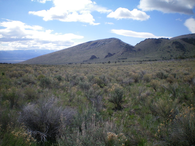
Peak 6822 towers over Emigrant Canyon to the north and is entirely on BLM land. This is the final leg of a 4-peak journey in the City of Rocks that includes Peak 6864, Peak 6888, Cedar Hills HP (7,434 feet), and Peak 6822. The journey covers 8.5 miles with 2,900 feet of elevation gain round trip. USGS Almo
Access
Same as for Peak 6864. This is the final leg of a 4-peak adventure.
Southwest Face, Class 2
The Climb
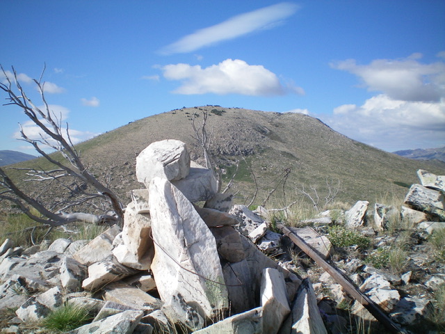
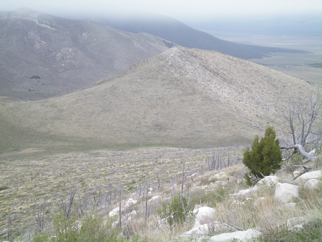
From the 6,320-foot connecting saddle with Cedar Hills HP, scramble northeast directly at Peak 6822. The terrain is mostly scrub with some snags and fallen burnt timber. Higher up, move left/north to avoid a steep section of boulders to reach the upper west ridge. Follow the easy ridge to the summit. The summit of Peak 6822 has a triangulation post and wiring as well as a summit cairn.
West Ridge/North Gully, Class 2
The Descent
From the summit, descend the [open] west ridge, staying left/south of rocky ridge outcrops to reach a saddle at the head of a gully. Descend north down this narrow gully. Farther down, move out of the gully to its left/west side for easier going through sagebrush and scrub. Pass by the right/east side of a large, rocky prow then angle left/northwest to intercept the Emigrant Canyon 2-track jeep road. Follow the Emigrant Canyon jeep road briefly left/west up Emigrant Canyon to an unsigned junction near a collection of old, fallen-down cabins from yesteryear. Go right here and follow the 2-track road back to Twin Sisters Road and the road junction at the mouth of Emigrant Canyon.
Additional Resources
Regions: Albion Range->SOUTHERN IDAHO
Mountain Range: Albion Range
Longitude: -113.69511 Latitude: 42.0123


