Elevation: 6,823 ft
Prominence: 413
This peak is not in the book. Published November 2024
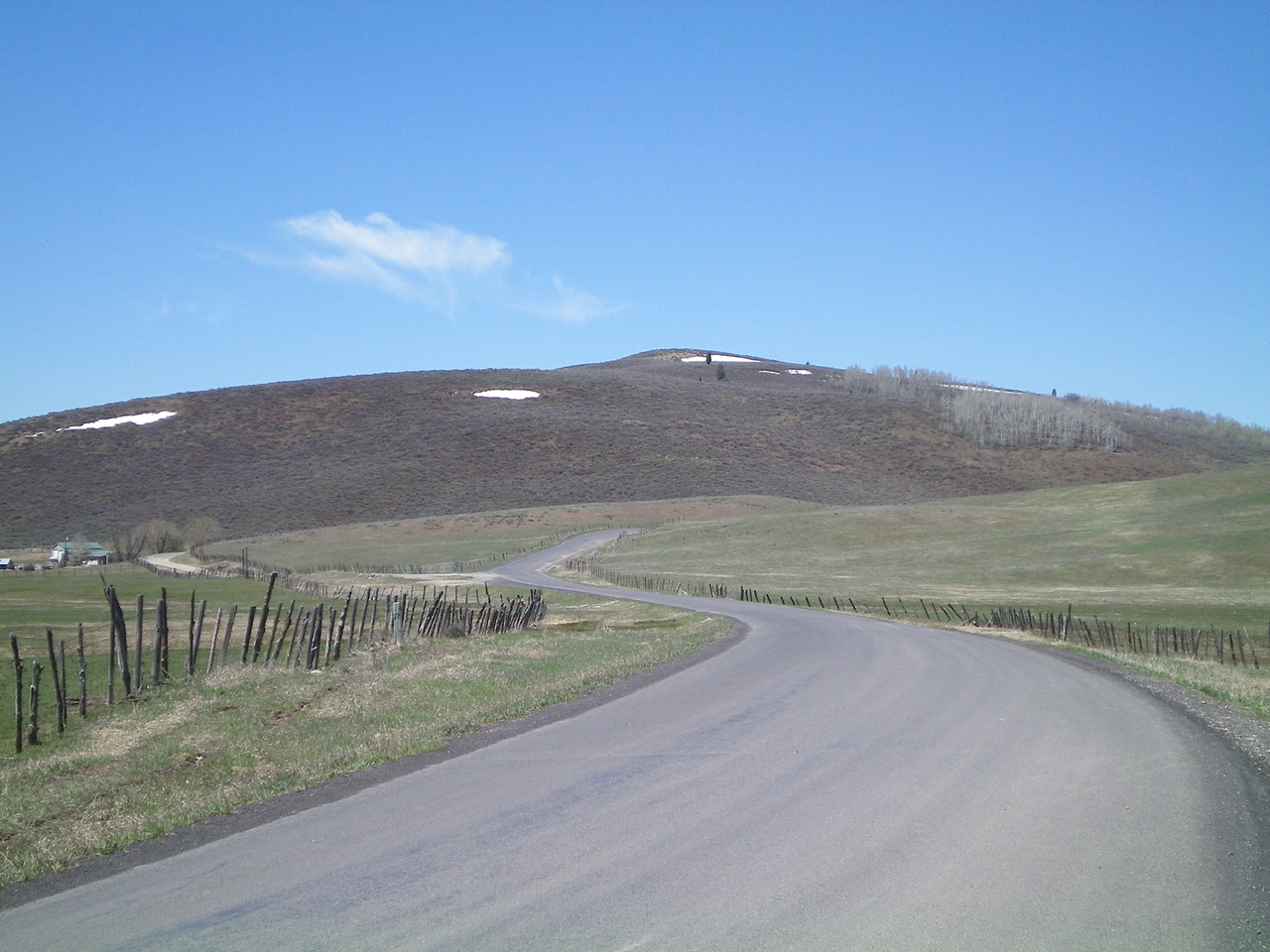
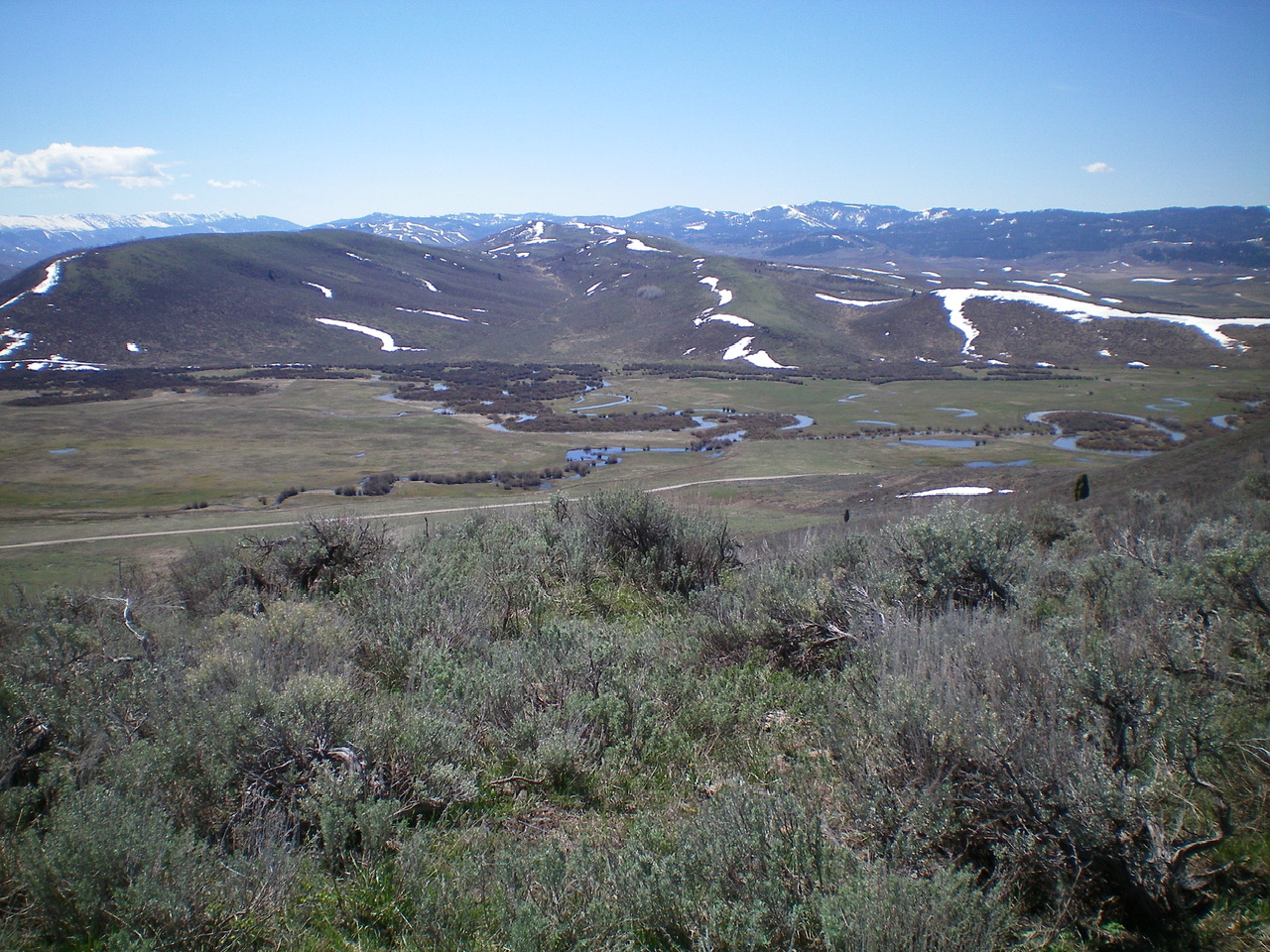
Peak 6823 sits above Allen Ranch and the Lower Valley in the Wooley Range. It is most easily climbed via either its north or northeast sides. The east and south sides are blocked by a private ranch (Allen Ranch). The route described is probably the shortest, most direct line to the summit. USGS Lower Valley
Access
From ID-34 near the southeast corner of Blackfoot Reservoir, turn right/east onto [signed] Blackfoot River Road and reset your odometer. This road junction is 0.3 miles north of China Cap Road. Drive east (then southeast) on Blackfoot River Road, a well-maintained county road. At 8.2 miles, reach a pullout on the right/southwest side of the road at the start of a 2-track road that follows a fence row. Park here (6,385 feet; 42⁰47’10”N, 111⁰25’34”W).
Map/Informational Errors
This route is entirely on State of Idaho land. However, LOJ incorrectly shows the initial section of this climb as crossing private land, but it does not. This route stays just north of the fenced, posted ranch land.
Northeast Face/East Ridge, Class 2
The Climb
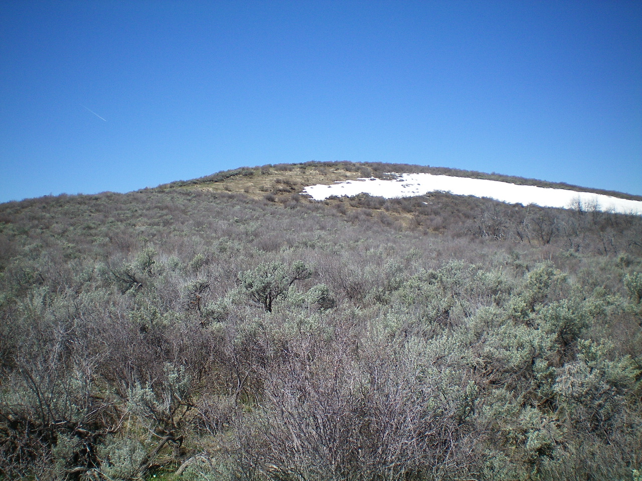
From the roadside pullout, cross a high, stiff cattle fence then scramble in open, short scrub up to a patch of dead trees. From there, bushwhack west up through thick-ish sagebrush (look for gaps) to find some flattened field grass higher up and a bit easier sagebrush on the east ridge. Follow the east ridge to the summit. The high point is not obvious but I found a good spot with nothing higher (barely). I built a small cairn on the high point.

Peak 6823 as viewed from midway up the northeast face, my ascent route. Lots of sagebrush bashing. Livingston Douglas Photo
Additional Resources
Regions: Peale Mountains->SOUTHERN IDAHO->Wooley Range
Mountain Range: Peale Mountains

