Elevation: 6,869 ft
Prominence: 379
This peak is not in the book. Livingston Douglas provided additional photos. Updated November 2020
Peak 6869 is a rocky butte located northwest of Mackay, Idaho, and southwest of North and South Chilly Buttes on the south side of Trail Creek Road. This short, sporty climb offers great views of the Lost River Range and the Big Lost River Valley. USGS Chilly Buttes
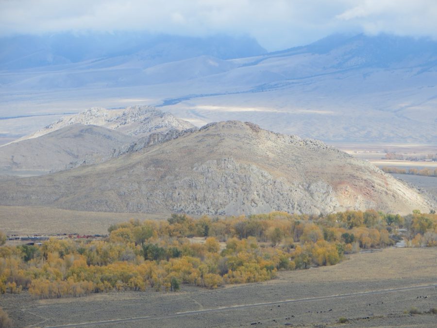
Peak 6869 as viewed from Bartlett Point Road. Margo Mandella Photo
Access
Access to Peak 6869 is from a short jeep trail off Trail Creek Road. This jeep trail is visible from Trail Creek Road and is shown on the Challis National Forest – South Travel Map. This trail takes you a short way up the North Ridge. Park here.
North Ridge, Class 2
Start your climb following the steep jeep track and continue as it turns into a short trail. When the trail ends, scramble your way through and around the various rocky outcrops to reach the ridge, taking the path of least resistance as you head toward the summit. The butte is steep but footing is solid. Any scrambling is straightforward and minimal. There are several ways to thread your way through the rocks on the ridge, but if it seems too hard, look around for an easier path. While the butte is exposed in places, it is not technical, so keep that in mind as you climb. Our round-trip stats: 1 mile with 386 feet of elevation gain.
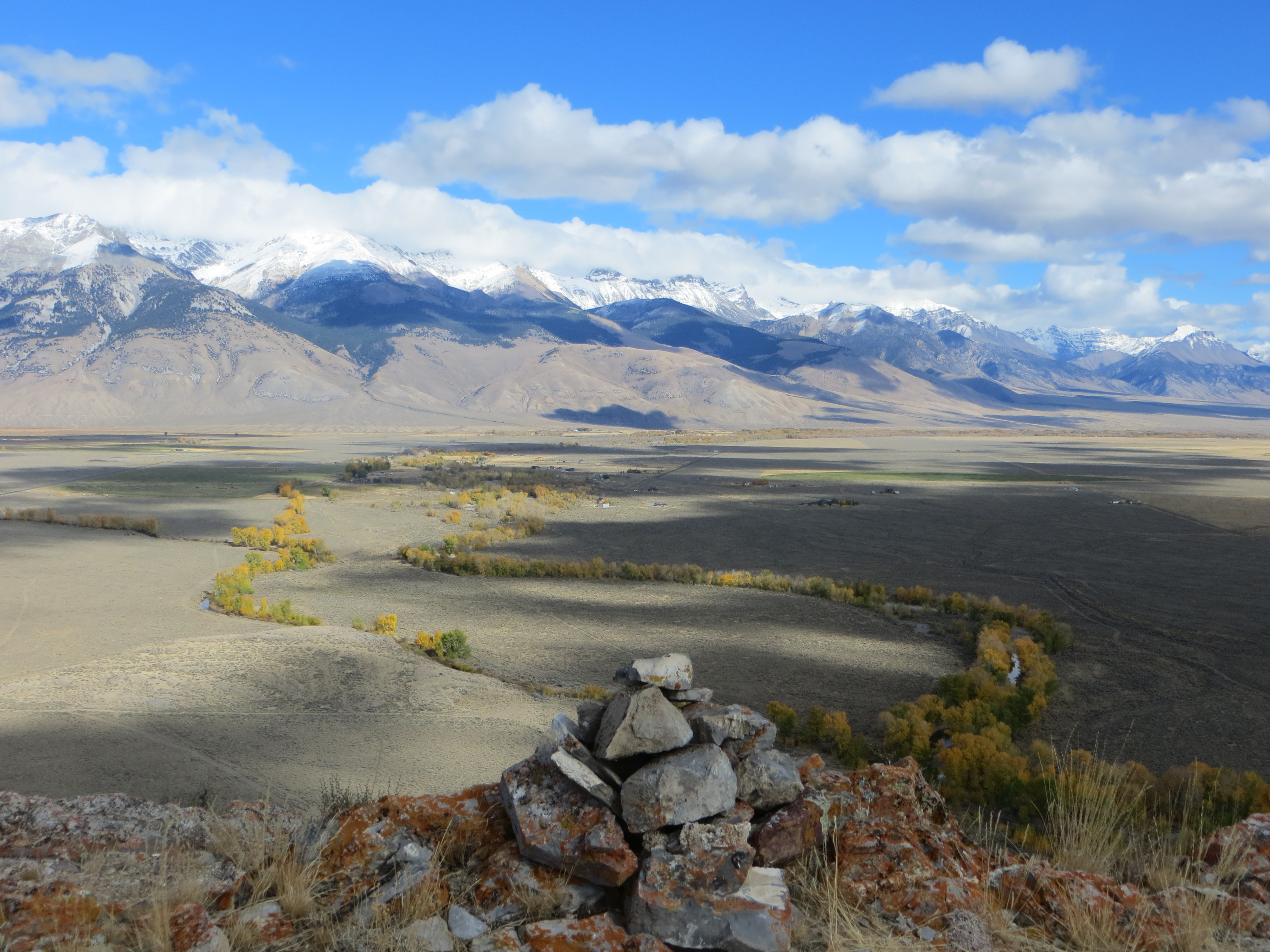
The summit of Peak 6869 with the Lost River Range in the background. Steve Mandella Photo
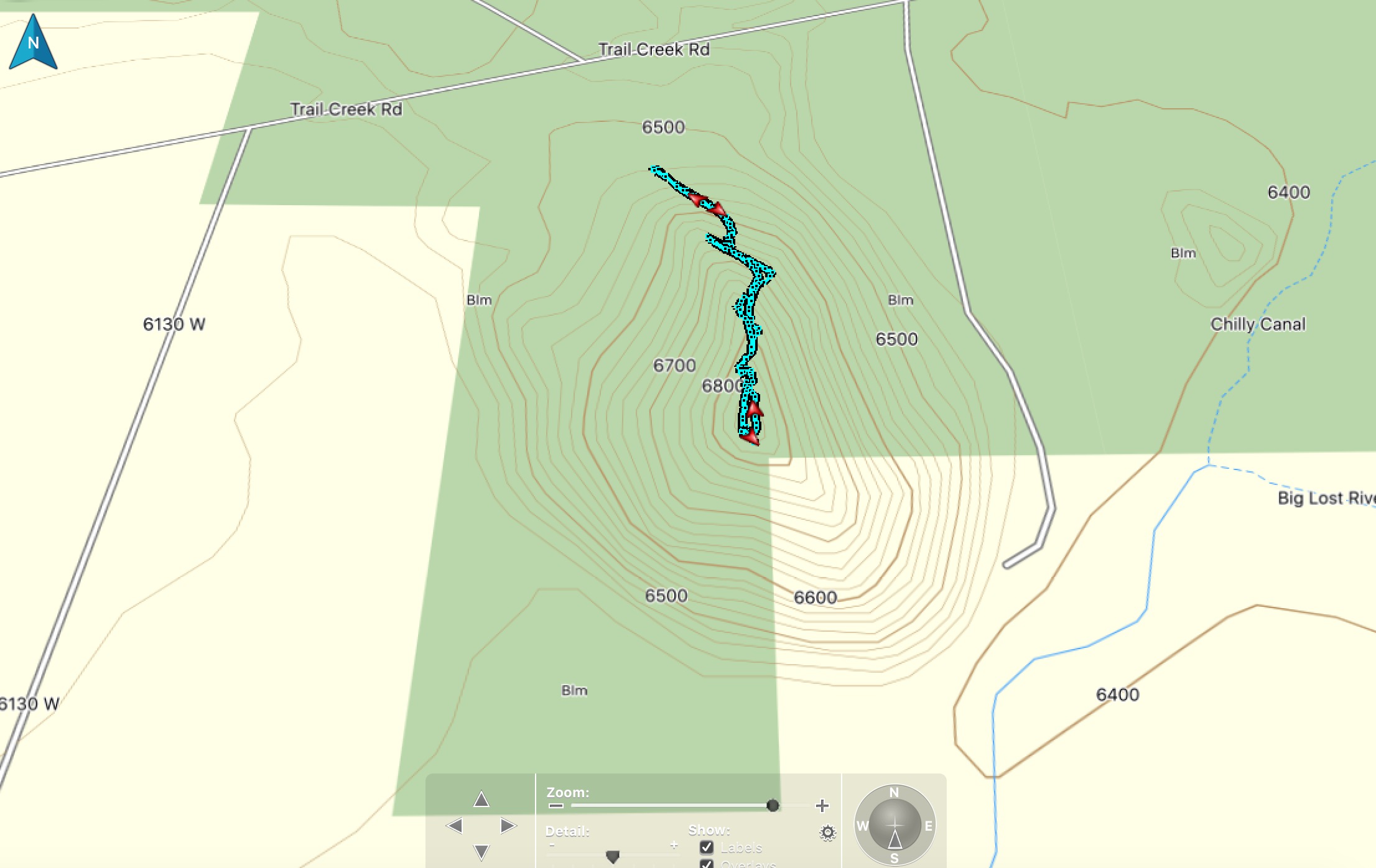
Climbing track. Steve Mandella Map
Livingston Douglas Photos
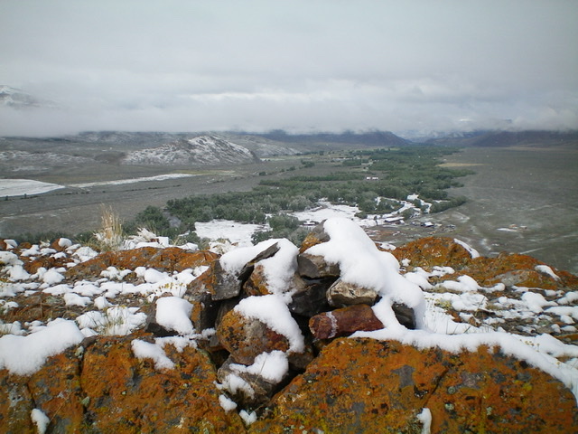
Winter in mid-June? Fresh snow covers the summit rocks of Peak 6869, looking up the Big Lost River Valley. Livingston Douglas Photo
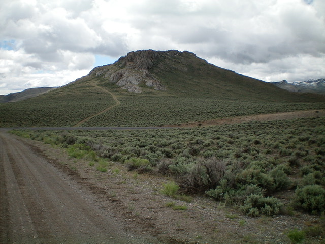
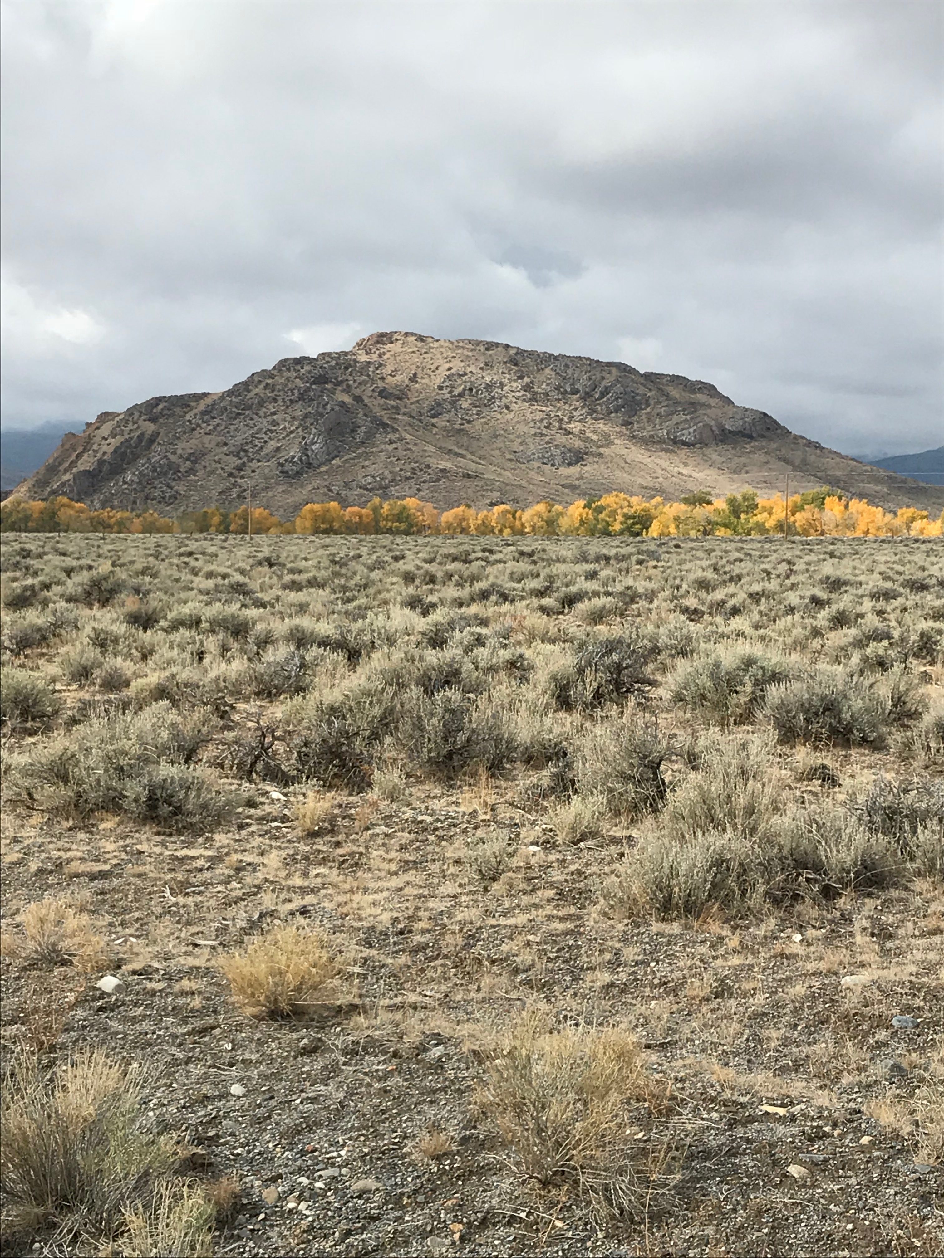
Peak 6869 and the 2-track jeep road leading up to its north ridge, as viewed from just across Trail Creek Road to its north. Livingston Douglas Photo
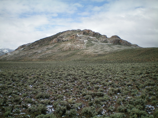
Rugged Peak 6869 as viewed from the northwest. The north ridge should not be taken lightly, particularly on the summit crest, as this photo illustrates. Livingston Douglas Photo
Additional Resources
Regions: Boulder Mountains->EASTERN IDAHO
Mountain Range: Boulder Mountains
Year Climbed: 2019
Longitude: -113.92401 Latitude: 44.04911