Elevation: 6,892 ft
Prominence: 322

This peak is not in the book. The unofficial name was proposed by Rick Baugher. Published November 2024
Peak 6892 sits above Cold Creek Canyon, Bowen Canyon, and Dry Canyon in the northern reaches of the Deep Creek Mountains of southern Idaho. This area is now public land and hiking is permitted. USGS Indian Springs

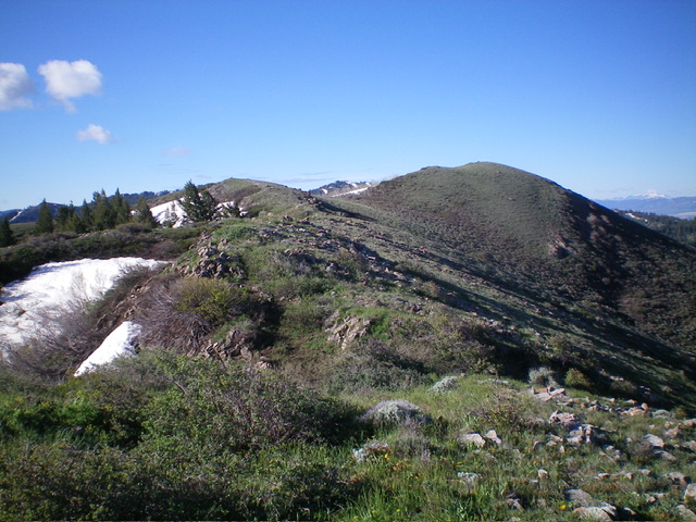
Peak 6892 (right of center) and its north ridge (left of center). This was my ascent route. Livingston Douglas Photo
Access
From Exit 36 (signed for ID-37/Rockland) on I-86, go south on ID-37 and reset your odometer. At 1.4 miles, bear left onto [signed] Indian Springs Road. At 1.9 miles, turn left at a “T” junction with Cold Creek Road. At 5.9 miles, go straight at a signed junction to stay on Cold Creek Road. At 8.6 miles, reach a signed junction with Bowen Canyon Road (right). Go straight to remain on Cold Creek Road (now called Moonshine Trail). At 9.5 miles, reach a nice pullout on a road crest. This pullout sits at the base of the north ridge. Park here (6,050 feet and 42⁰40’55”N, 112⁰46’32”W).
Map Errors
The USGS topo map shows a jeep road coming up the north side of Peak 6892 from Cold Creek Road. That jeep road no longer exists. A very overgrown, grassy 2-track remains but disappears in the thick forest/brush soon after it begins.
North Ridge/West Face, Class 2
The Climb
From the roadside pullout, bushwhack diagonally left/southeast through thick-ish sagebrush to reach easier, shorter scrub higher up. Intercept the north ridge then follow it on easy short grass/scrub and embedded talus/scree to reach the summit with a few minor ups and downs along the way. The ridge wiggles a bit and makes a final bend right/southwest to reach the well-cairned summit. Avoid the gullies in this area as they are thick with brush and aspens. Stay on the open ridge crests.

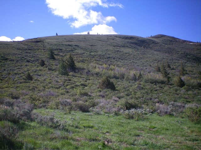
Peak 6892 and its north ridge (skyline) as viewed from the grassy pullout (start of climb). The summit hump is hiding behind the hump at far right. Livingston Douglas Photo

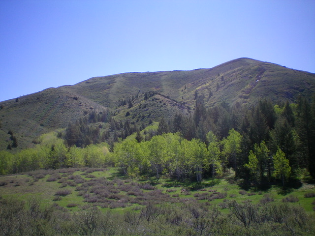
Peak 6892 (summit is right of center) and its magnificent north ridge (skyline left of center) as viewed from the west. Livingston Douglas Photo
Additional Resources
Regions: Deep Creek Mountains->SOUTHERN IDAHO
Mountain Range: Deep Creek Mountains
Longitude: -122.7733 Latitude: 42.6701