Elevation: 6,896 ft
Prominence: 307

This peak is not in the book. This peak has a map elevation of 6,907 feet. Based on LiDAR measurements, the elevation is 6,896 feet. Published November 2024
Thanks to LiDAR, Peak 6896 is now a ranked summit. It sits above Box Canyon and at the head of Valve House Draw in the Bannock Range. Peak 6896 is most easily climbed via its west side from South Fork Mink Creek Road. USGS Clifton Creek

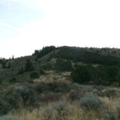
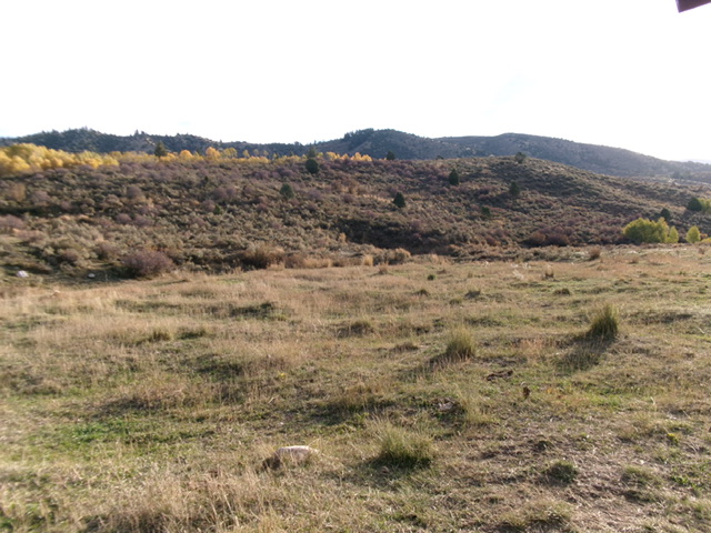
Peak 6896 as viewed from the Box Canyon Trailhead (start of climb). The summit hump is in dead center on the ridgeline in the distance. Livingston Douglas Photo
Access
From Exit 63/Portneuf Area on I-15 just south of Pocatello, drive into the hamlet of Portneuf. Drive west then northwest on [signed] Portneuf Road to reach its junction with the Bannock Highway. Turn left/southwest onto the Bannock Highway. Reset your odometer at this junction. At 4.5 miles, reach a junction with East Fork Mink Creek Road (left turn). Continue straight south on the Bannock Highway. At 7.1 miles, reach an unsigned junction with South Fork Mink Creek Road/FSR-163. Turn left onto FSR-163 and drive 2.4 miles to a signed trailhead parking area for the Box Canyon Trailhead. The trailhead is at 5,884 feet(map) and 42⁰40’51”N, 112⁰24’41”W.
West Shoulder, Class 2
The Climb
From the Box Canyon Trailhead, follow an unofficial, steep MC trail north up onto a knoll at the base of the west shoulder. From the knoll, bushwhack right/east up the well-defined ridge in thick, tall scrub with gaps and some cattle trails. Weaving is required. You will soon reach a flattish meadow with easier scrub and lots of gaps and cattle trails. Once across this meadow, continue east up through more thick scrub. Bushwhack right-ish through a patch of thick aspens to reach a well-defined (albeit rounded) open ridge of thick scrub.
Follow the ridge crest east then northeast up to a high ridgeline. Work around some mountain mahogany as you advance. Once on the high ridge, head right/southeast up through easier scrub to reach the open summit of Peak 6896. There was no summit cairn so I built a modest one with the talus that I could dislodge from the ground. This is clearly the high point. There were no signs of previous ascent, except by cattle. The key to the west shoulder climb is the general rule that “the ridge crest is best.” Avoid patches of thick aspens, willows, and brush on its sides. On the descent, I chose to avoid the steep MC trail and descended a sagebrush gully directly down to the trailhead.

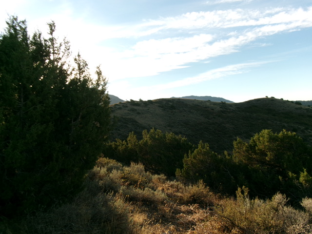
Peak 6896 and its ridgeline summit (dead center) as viewed from high on the west shoulder. Livingston Douglas Photo

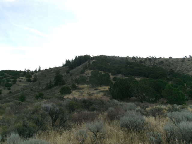
Looking up the west shoulder. This was my ascent route. The summit is on the high ridgeline right of center. Livingston Douglas Photo
Additional Resources
Regions: Bannock Range->SOUTHERN IDAHO
Mountain Range: Bannock Range
Longitude: -112.39270 Latitude: 42.68135