Elevation: 6,926 ft
Prominence: 467

This peak is not in the book. Published November 2024
Peak 6926 is the fourth of five ranked summits on Upper Valley Road in the Soda Springs Hills. It sits above Windmill Flat to its north and is across Upper Valley from Long Ridge to its east. Peak 6926 is most easily climbed from its east side from Upper Valley Road. USGS Alexander
Access
From US-30 a few miles west of Soda Springs (and 0.9 miles east of the US-30/ID-34 junction), turn north onto [signed] Oregon Trail Road. Drive 1.4 miles north up Oregon Trail Road to a signed junction with Upper Valley Road/BLM-11. Reset your odometer here. At 4.1 miles, park in a grassy pullout on the right/east side of the road near an iron pipe fence corner (6,375 feet and 42⁰41’39”N, 111⁰39’58”W).
East Shoulder/Southeast Ridge, Class 2
The Climb
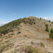
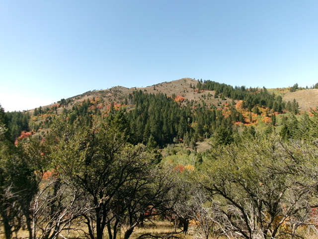
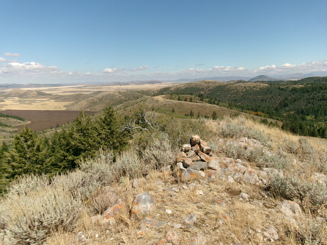
From the grassy pullout, walk about 100 yards south on Upper Valley Road to reach open terrain and the toe of the east shoulder. Leave the road and scramble west up through steep-ishgrass/scrub. Continue up the semi-open shoulder (with scattered mountain mahogany) to reach a junction with the southeast ridge at a minor hump. Head northwest from this ridge hump and descend 15 vertical feet to a minor notch. Continue northwest up easy grass and scrub to the open summit. The summit of Peak 6926 had two torn-down cairns so I built a nice, new summit cairn on the high point.
Additional Resources
Regions: Blackfoot Mountains->Soda Springs Hills->SOUTHERN IDAHO
Mountain Range: Blackfoot Mountains


