Elevation: 6,927 ft
Prominence: 307

This peak is not in the book.
Peak 6927 sits directly on the Bitterroot Mountains Crest and the Idaho/Montana border. USGS Schley Mountain
Dan Saxton provided the following information on the peak:
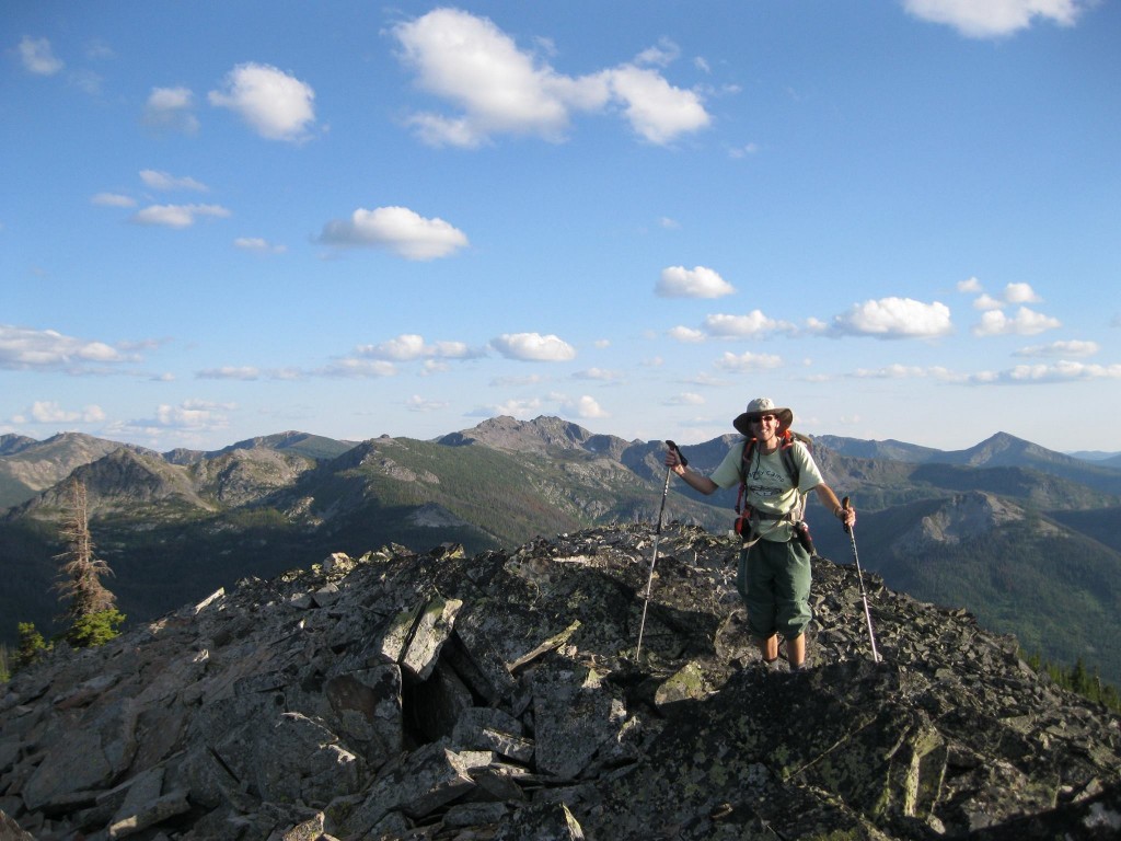
“Peak 6927 is not a significant peak and I don’t have any distinctive photos of it from a distance. It is just off the unmaintained State Line Trail, which disappears just south of the summit for 2/3 mile on the way to Leo Lake. It is not marked correctly on the map either. There are some nice views south into the heart of the Shale Mountain Area. It is a good place to go for a relatively easy hike from the Schley Mountain trailhead.”

Dan Saxton on the summit of Peak 6927. Dan Saxton Photo
Dan provided the following access information:
“From the Schley Mountain trailhead at the end of the road, follow the State Line Trail/FST-738 to the MT/ID State Line. About 50 yards before you reach the sign marking the MT/ID border, look left to see the remnants of an old road forking off to the east (unsigned). That is the continuation of the State Line Trail heading south. Don’t be fazed by its slightly overgrown nature. Follow the track about 1/4 mile to where it clearly becomes a single trail. If in doubt, seek to gain the North Ridge of Peak 6927. The path reaches the ridge, but then soon goes onto the West Side (the map is incorrect here), climbing up until it reaches a meadow just south of Peak 6927 and abruptly vanishes.”
Additional Resources
Regions: Bitterroot Mountains->NORTHERN IDAHO
Mountain Range: Bitterroot Mountains
Longitude: -114.78329 Latitude: 46.76809