Elevation: 6,962 ft
Prominence: 303

This peak is not in the book. Published November 2024
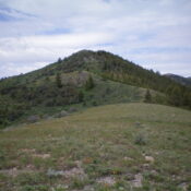
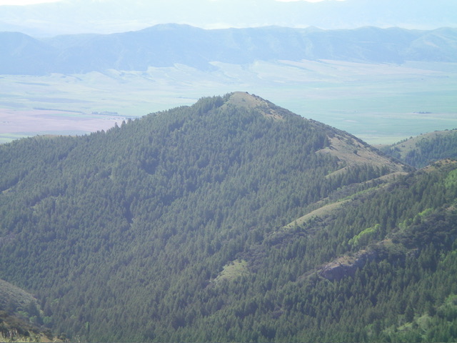
Peak 6962 is one of the northern foothills of the Deep Creek Mountains. It is located on the west side of Arbon Valley in an area of both private and public land. This route is entirely on BLM land. USGS Bannock Peak

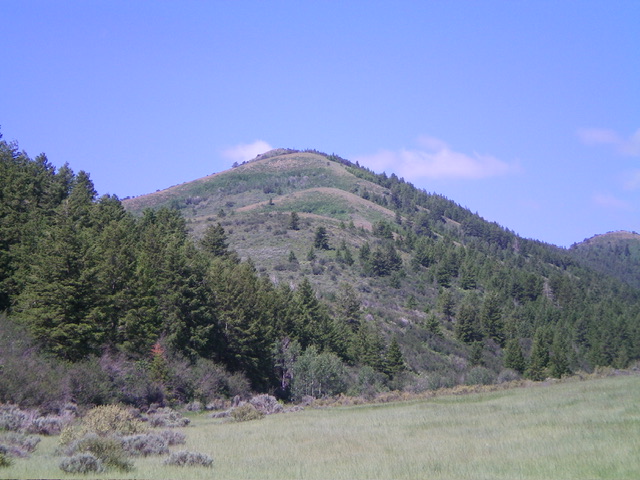
Peak 6962 as viewed from Green Canyon Road to its northeast. My ascent ridge is in dead center. Livingston Douglas Photo
Access
From Exit 52/Arbon Valley on I-86, drive south on [paved] Arbon Valley Road. At virtual MM23.6, reach a signed junction with South Mink Creek Road (left). Continue straight/south on Arbon Valley Road. At virtual MM24.9, reach a signed junction with England Road/4500S (right). Turn right/west onto England Road and reset your odometer. At 1.0 miles, reach a signed junction with Bailey Road. Continue straight/west on England Road.
At 2.4 miles, reach the end of England Road at a parking area (42⁰32’48”N, 112⁰36’19”W). The road now becomes a rutted, poorly-maintained BLM 2-track road (Green Canyon Road). At 3.3 miles, park alongside the rutted road in field grass (5,500 feet and 42⁰32’26”N, 112⁰37’15”W). If road conditions permit, continue another 0.2 miles to the BLM boundary and a decent parking area. This is Green Canyon.
North Face/Northeast Ridge, Class 2+
The Climb
From the improvised parking pullout, hike about 0.2 miles west up Green Canyon on the 2-track BLM road to reach the BLM land boundary and a cattle fence crossing. Continue west up Green Canyon Road for another mile. Leave the road at the base of the north side of the northeast ridge (at about 5,775 feet) and bushwhack south up through a thick-ish mess of pine forest and brush. Head diagonally left/southeast initially on an easier ramp of sorts without too much thick brush.
Go up the north face in diagonal switchbacks to find much easier, open terrain with easy field grass. Reach the crest of the northeast ridge after a pretty steep climb up the north face. Once on the ridge crest, follow it right/southwest in mostly easy, short grass/scrub. The ridge does have two unavoidable patches of thick aspens/brush to bash through. As you approach the summit, there is some ridge rock mixed in. The summit itself is open and small. There were no signs of previous ascent so I built a summit cairn.

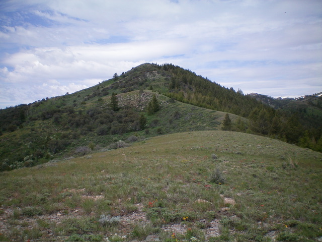
Peak 6962 (dead center) as viewed from high on the northeast ridge. This was my ascent route. Livingston Douglas Photo
North Face, Class 2
The Descent
To avoid the rather unpleasant sections of thick aspens/brush on the northeast ridge, I decided to descend the north face directly down to Green Canyon Road. From the summit, descend north on a narrow ridge (which soon becomes a face). Bushwhack down through an easy pine forest with reasonable grass/brush/blowdown to quickly reach Green Canyon Road. Follow the road northeast then east for about 1-1/2 miles to the BLM land boundary. Continue another 0.2 miles east to the improvised parking pullout and your awaiting vehicle. This descent route is an easy bushwhack and has much more of a road hike than the ascent route.
Additional Resources
Regions: Deep Creek Mountains->SOUTHERN IDAHO
Mountain Range: Deep Creek Mountains
Longitude: -112.64953 Latitude: 42.53148
