Elevation: 6,980 ft
Prominence: 680

This peak is not in the book. Published November 2023
Peak 6980 is located on a north-south ridgeline on the east side of Arbon Valley. It is most easily climbed from East Bowen Lane, a county road. Its north ridge is much more rugged than its open south ridge. USGS Arbon
Access
From Exit 52/Arbon Valley on I-86, drive south on [paved] Arbon Valley Road. At 23.5 miles, reach a signed junction with South Mink Creek Road. At 26.7 miles, reach a signed junction with Knox Canyon Road. At 28.7 miles, reach a signed junction with Bowen Lane. Turn left/east onto East Bowen Lane and drive 2.1 miles east then northeast to an unsigned junction with a narrow 2-track road heading right/east. Park in a pullout at this junction (5,375 feet; 42⁰29’40”N, 112⁰31’02”W).
This area is a mix of private and public land, so be careful. This climb crosses a section of unposted, unfenced private land early on. This is the first leg of a 2-peak adventure that includes Peak 6980 and Peak 6660. It covers 6.0 miles with 2,320 feet of elevation gain round trip.
Map Errors
The USGS topo map mislabels Bowen Lane as “Johnson Road.” The USGS topo map shows Bowen Lane as heading east then making a sharp left/north turn. The road actually heads east then bends northeast then bends north just before reaching the unsigned road junction for the start of this climb. Bowen Lane continues northward past this junction. That section of the road is not shown on the USGS topo map.
North Ridge, Class 3
The Climb
From the pullout, bushwhack east-southeast up through tall field grass and scrub to reach the crest of the north ridge in a large grassy field. Head south up the rounded ridge crest to quickly reach the juniper forest on the north ridge. Scramble up through the gapped junipers (easy) to soon find a fence row that follows the ridge crest for a while. Follow the ridge crest (and fence row) up to where the ridge narrows and gets rocky. The fence row ends here. Climb south up through thicker junipers, ridge outcrops, and cliff bands that are tedious.
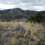
The ridge rock is usually best to climb over (Class 3) rather than skirt in thick brush and junipers. This mix of terrain is tiresome but it goes. In addition, the ridge has a series of ups and downs. The ridge bends left-ish/southeast just south of Point 6721. Skirt the left/north side of rocky Point 6800+ to reach the final ridge saddle. From this saddle, head southeast up open grass/scrub to reach the surprisingly open, gentle summit of Peak 6980. The high point has a summit cairn. It is the southeastern of two humps of similar height. The southeast hump is only five feet higher than the northwest hump. I built up the torn-down summit cairn.

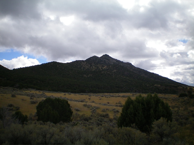
Peak 6980 as viewed from the north-northwest (start of climb). The choppy, juniper-clad ascent ridge is in center and left of center. The summit hump is not visible. Livingston Douglas Photo
Northeast Ridge, Class 2+
The Descent
From the summit, head north along a tedious ridgeline that is a mix of open scrub (easy), semi-open forest (not too bad), and thick willows/brush (awful) to reach a ridge juncture at 6,520 feet. Go right/east here onto a side ridge that heads east briefly then northeast down to a small meadow. A fence row guides you down to the meadow for the final 2/3 of this descent. This meadow is the low point in the traverse from Peak 6980 to Peak 6660. It concludes the first leg of today’s 2-peak adventure. Peak 6660 is up next.
Additional Resources
Regions: Bannock Range->SOUTHERN IDAHO
Mountain Range: Bannock Range
Longitude: -112.5033 Latitude: 42.4692

