Elevation: 6,980 ft
Prominence: 400

This peak is not in the book. Published November 2023
Peak 6980 is a nice, semi-forested hump that sits on the east side of Silver Creek in the Eastern Salmon River Mountains. It is most easily climbed via its west ridge from Silver Creek Road/FSR-108. USGS Opal Lake

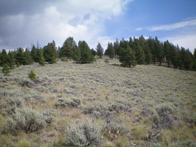
Peak 6980 as viewed from high on the west ridge. The forested summit is not yet in view. Livingston Douglas Photo
Access
From the signed junction of Panther Creek Road/FSR-055 and Silver Creek Road/FSR-108, drive 3.8 miles west on Silver Creek Road to a nice roadside pullout on the left/east side of the road. This pullout is at 6,084 and 44⁰55’05”N, 114⁰23’18”W.The signed junction is 5.3 miles south of Porphry Creek Road/FSR-112.
Map Errors
The USGS topo map shows a jeep road heading east from FSR-108 along the south side of Peak 6980. That road no longer exists. Not even remnants of it remain.
West Ridge, Class 2
The Climb
From the roadside pullout, cross [small] Silver Creek by jumping it or by using fallen tree logs at a spot where the brush is pretty minimal. Once across the creek, climb up a steep, grassy shoulder on the left/north side of a dry gully. The grass turns into an easy forest and a splendid ridge. Midway up, angle left/northeast to cross a dry gully. Scramble up through sagebrush to reach the crest of the west ridge of Peak 6980.
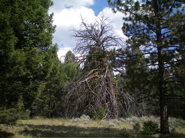
The crest of the west ridge is a mix of thick-ish sagebrush and scattered pines. Higher up, it becomes a nice pine forest. You will quickly reach the semi-open summit hump. It is clear that this is the high point even though visibility is somewhat limited. There is no summit cairn nor any signs of previous ascent. This climb is a pleasant scramble up open, relatively-easy terrain. I enjoyed it very much.

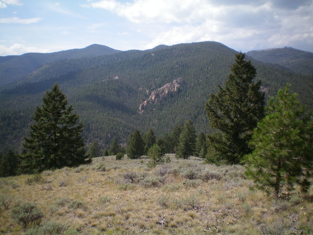
Descending the west ridge. Aim for the toe of the rocky outcrop in the distance to find your way back to the starting point along the road. Livingston Douglas Photo
Additional Resources
Mountain Range: Eastern Salmon River Mountains
Longitude: -114.3755 Latitude: 44.9200
