Elevation: 6,990 ft
Prominence: 290

This peak is not in the book. Published November 2022
Peak 6990 sits above Litz Basin in the Bear River Range. It separates Litz Creek from Foster Creek. Peak 6990 is a rugged, rocky ridgeline peak that stands out as unusual in this area, which is dominated by scrub hills and gentle, rolling terrain. USGS Mapleton

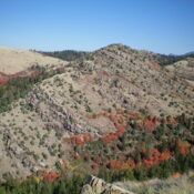
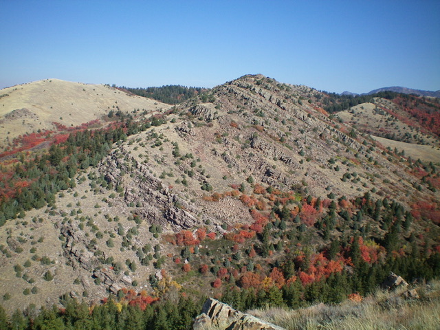
Peak 6990 (mid-ground) as viewed from the south. The summit is right of center. Livingston Douglas Photo
Access
Same as for Self Help Peak. This is the second leg of a 3-peak adventure that includes Self Help Peak (6,964 feet), Peak 6990, and Peak 7682.
Map Errors
The USGS topo map shows two trails in the Litz Creek area that no longer exist. The trail junction at 6,056 feet (map) is unsigned but has flagging tape on the nearby field grass/scrub. This junction is critical and should be signed since it is the junction for FST-108 and FST-315. A wrong turn here would be catastrophic.
North Ridge, Class 2
The Climb
From the 6,700-foot connecting saddle with Self Help Peak, move right/south to stay in open scrub. Climb steep grass/scrub to reach the rocky crest of the north ridge of Peak 6990. Follow the endless rocky fin tops to reach the high point at the south end of the long summit ridge. There are a few minor ups and downs along the way. The summit (a boulder) had no cairn so I built one there.

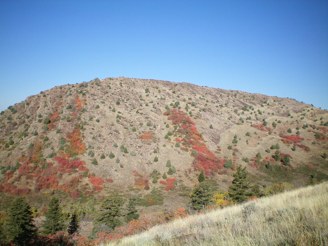
Peak 6990 and its east face. The summit is left of center. My descent route is just left of center. Livingston Douglas Photo

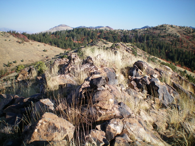
Looking north along the rocky summit ridge of Peak 6990 with its newly-built summit cairn in the foreground. Livingston Douglas Photo
East Face, Class 2
The Descent
From the summit, descend east-southeast down the steep rock-and-scrub face to cross a dry gully. This gully is the low point between Peak 6990 and Peak 7682. It concludes the second leg of today’s 3-peak adventure. Peak 7682 is up next.
Additional Resources
Regions: Bear River Range->SOUTHERN IDAHO
Mountain Range: Bear River Range
Longitude: -111.67501 Latitude: 42.11769