Elevation: 6,999 ft
Prominence: 296

This peak is not in the book. This peak’s map elevation is 7,020 feet. LiDAR measurements place the elevation as 6,999 feet. Published November 2024
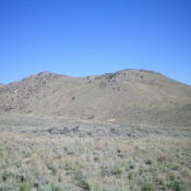
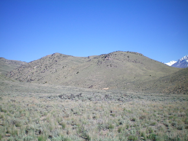
Formerly a ranked summit, Peak 6999 sits above Blaze Canyon just northwest of Mackay and west of the Big Lost River. It can be easily reached via some well-maintained county and BLM roads. USGS Mackay Reservoir
Access
From US-93 in Mackay, drive southwest on Main Street (which becomes Smelter Avenue). Cross the Big Lost River on a bridge. At 0.9 miles, reach an unsigned road fork. Go right/southwest here onto Rio Grande Canyon Road. At 1.7 miles, reach a signed road junction with BLM-208. Go right/north onto BLM-208. A 4WD vehicle is recommended for this road (but not high clearance). At 3.6 miles, reach the end of the road at a large parking area and two trailheads. Park here (6,000 feet and 43⁰54’52”N, 113⁰38’15”W).
Map Errors
The USGS topo map shows two roads heading north toward the trailhead parking area. Only the western of the two roads exists.
Southwest Spur/Southeast Ridge, Class 2
The Climb
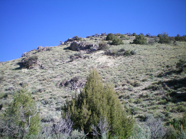
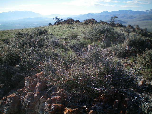
From the trailhead parking area, hike northwest up the Blaze Canyon ATV Trail for almost ¾ mile to a nice grassy shoulder at about 6,250 feet. Leave the ATV trail and scramble right/northeast up the steep spur ridge to reach the southeast ridge. Once on the southeast ridge, head left/northwest to the summit gap area and visit the three potential high points (all are ground boulders). The shoulder and ridge terrain is a mix of grass/scrub and ground boulders. Higher up, rocky outcrops join the mix.
The first potential high point is at least 10-15 feet lower than the final two ridge points. The final two points are very close in elevation, so stand on both just to be sure. The USGS map (and LOJ) are of no help in determining which of these two points is highest.
South Shoulder, Class 2+
The Descent
From the summit, descend briefly on the southeast ridge then follow a steep shoulder south, directly down to the Blaze Canyon ATV trail. This descent is steep, loose, and rocky. It has ledges and buttresses to downclimb (Class 2+). There are multiple ribs/shoulders on the south side of Peak 6999. Be careful which one you choose to climb or descend.
Additional Resources
Regions: EASTERN IDAHO->White Knob Mountains
Mountain Range: White Knob Mountains
Longitude: -113.65212 Latitude: 43.92404


