Elevation: 7,017 ft
Prominence: 717

This peak is not in the book. The unofficial name was proposed by Rick Baugher. Published November 2024
Peak 7017 is the third of five ranked summits on Upper Valley Road in the Soda Springs Hills. It is the highest of the five peaks. Peak 7017 is the most difficult of the five peaks to climb. The easiest route to the top is probably the northwest ridge, which can be climbed directly from Upper Valley Road. USGS Alexander
Access
From US-30 a few miles west of Soda Springs (and 0.9 miles east of the US-30/ID-34 junction), turn north onto [signed] Oregon Trail Road. Drive 1.4 miles north up Oregon Trail Road to a signed junction with Upper Valley Road/BLM-11. Reset your odometer here. At 3.8 miles, park on an overgrown 2-track on the right/east side of the road (6,315 feet and 42⁰41’21”N, 111⁰39’54”W). You may be able to find a pullout farther down the road that is closer to the toe of the northeast ridge.
Northeast Ridge, Class 2
The Climb
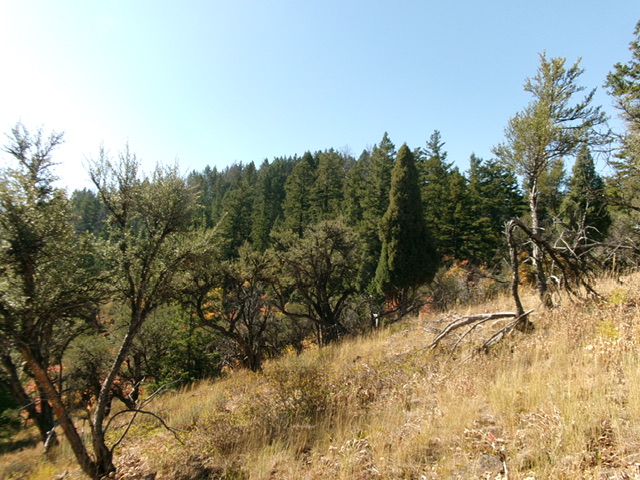
From the parking spot, walk about ¼ mile down the road to just after a sharp west bend and bushwhack south up through a very steep pine forest that is littered with down tree limbs and downed trees. Reach much easier terrain on the crest of the northeast ridge on its open scrub edge. Head right-ish/southwest up the semi-open ridge crest in a mix of pines, mountain mahogany, grass, and brush.
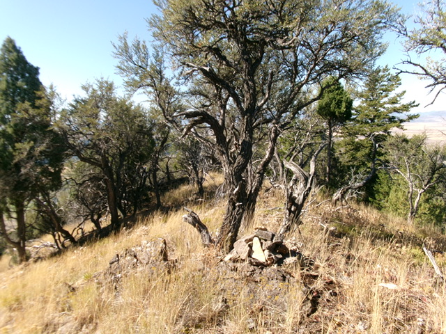
Stay in open terrain whenever possible. Reach a flattish ridge section and a bend left-ish/south. Drop slightly to a forested saddle and continue south on a game trail on or near the ridge crest in the thick forest and brush. You will soon reach the semi-open summit. I rebuilt the torn-down summit cairn. There is a nice view of Blackfoot Reservoir in the distance.

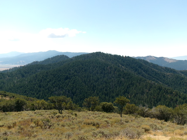
The forested summit hump of Peak 7017 as viewed from high on the northeast ridge. Livingston Douglas Photo
Additional Resources
Regions: Blackfoot Mountains->Soda Springs Hills->SOUTHERN IDAHO
Mountain Range: Blackfoot Mountains
Longitude: -111.6739 Latitude: 42.6794

