Elevation: 7,070 ft
Prominence: 360

This peak is not in the book. Published November 2024
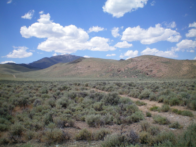
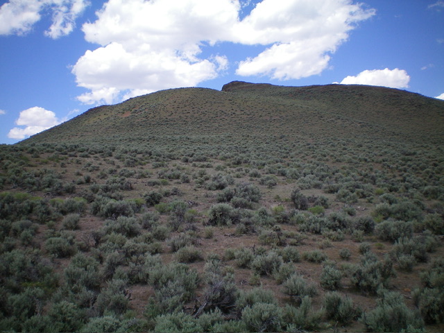
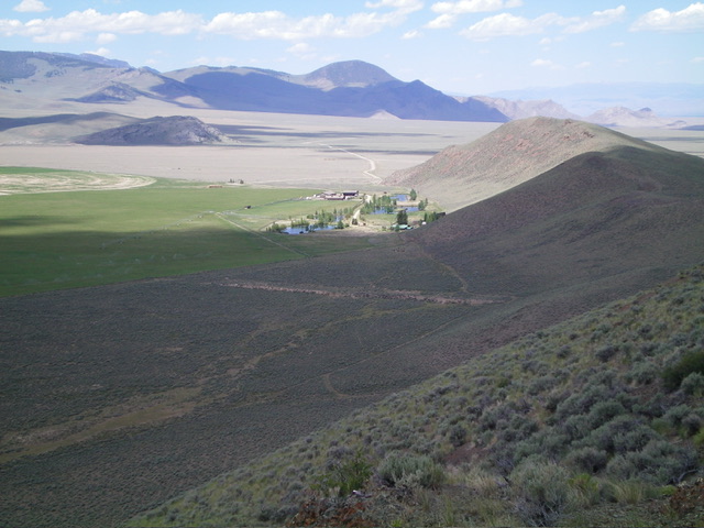
Peak 7070 is a handsome scrub hill that sits above Doublespring Ranch to its northwest. It is most easily climbed via its south ridge from a 2-track BLM road. This area is a mix of private and public land, so be careful. This climb is entirely on BLM land. USGS Spring Hill
Access
Turn off Donkey Hills Road 8.4 miles northwest of [signed] Burnt Creek Road onto an unsigned BLM road heading left/west. This road junction is at 44⁰19’18”N, 113⁰43’04”W. This is NOT BLM-110 (signed) which is 0.1 miles southeast of this road junction. Drive 0.7 miles west on the unsigned BLM road to the base of a sharp, steep hill. Park in a nice pullout at the base of the hill.
The road is much worse past this point. The pullout is at 6,570 feet and 44⁰19’13”N, 113⁰43’59”W. There is another BLM road about 0.2 miles northwest of this junction (not shown on maps) that follows a fence row southwest and merges with the road that I drove on. Choose whichever road is in better condition to reach the aforementioned roadside pullout.
South Ridge, Class 2
The Climb
From the pullout, hike west on the 2-track road as it follows the left/south side of a fence row. After about ½ mile, the 2-track road reaches a crest at the base of the south ridge of Peak 7070. Leave the road here. Cross an easy cattle fence and scramble north up through thick-ish, gapped sagebrush to reach a minor ridge hump. Continue north up steep-ish scree and scrub to reach a rocky ridge hump. Scramble left-ish/northwest to the ridgeline high point. The summit has a modest cairn and a nice view of Doublespring Ranch to the northwest.
Peak 7070 can also be climbed directly from Donkey Hills Road via its northeast ridge.
Additional Resources
Regions: EASTERN IDAHO->Lost River Range
Mountain Range: Lost River Range
Longitude: -113.7434 Latitude: 44.3248


