Elevation: 7,182 ft
Prominence: 402

This peak is not in the book. Published December 2024
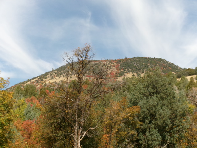
Peak 7182 is a beautiful, double-humped mountain that sits above Williams Canyon. It is a striking sight when viewed from ID-34 to its south. Peak 7182 is most easily climbed from an old jeep track on its southeast side. USGS Oneida Narrows Reservoir

Peak 7182 as viewed from ID-36 at the Cache National Forest boundary to its southwest. Livingston Douglas Photo
Access
Park at the Cache National Forest boundary in a large roadside pullout along ID-34 at virtual MM13.6. This pullout is at 5,690 feet and 42⁰18’18”N, 111⁰40’37”W.
Southwest Spur/Southeast Face, Class 2
The Climb
From the roadside pullout, cross ID-36 and find FST-334 (an old 2-track road) at the north end of a roadside pullout across the highway from the Cache National Forest sign. It is unsigned and is somewhat hidden in the thick forest. Follow FST-334 for about ¼ mile to an unsigned road junction. Go right/northeast here to stay on FST-334. The old road now follows the left/west side of the southwest spur and soon climbs up onto it.
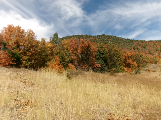
The road bends sharply left/west and quickly turns sharply right/northeast to leave the spur and follow the southeast face. Continue up the rocky road for about another ½ mile. Leave the road at a point where it sits directly south of the summit hump. The road is on the right/south side of the powerlines here. Head north across the open grass of the fire break below the powerlines. Bushwhack through a short patch of maples and look right/east to see a large swath of open grass with some scrub, scattered mountain mahogany, and a few maples.
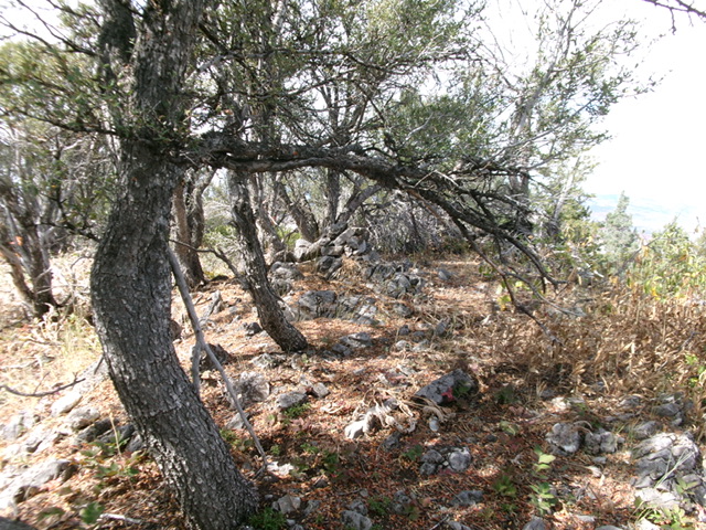
This open grass continues way up to a final patch of mountain mahogany (not too dense). Bushwhack through the mountain mahogany to reach the summit ridge. Once on the high ridge, head right/northeast up the ridge in mostly open grass/scrub to quickly reach the high point of Peak 7182. It sits on the high ridgeline. The summit boulders had a modest cairn which I enlarged. The semi-open summit offers decent visibility and is clearly the high point.

Looking back up the south face of Peak 7182. This was the lower leg of my descent route. Livingston Douglas Photo
Southwest Ridge/South Shoulder, Class 2
The Descent
From the summit, bushwhack southwest then west on the high ridge in semi-open forest and scrub. The terrain becomes thicker (but still decent) maple forest. The ridge flattens and becomes very thick with maples. The bushwhack is now brutal with minimal visibility. Dense maple forest, copious deadfall, and a thick understory. The ridge becomes ill-defined.
Ideally, descend south-southwest from the flattish area near the steep-ish east side of the ridge crest. I ended up a bit too far north and had to traverse southeast across open grass to return to the ridge crest. Follow the ridge crest south in a mix of field grass, scrub, and scattered maples to reach FST-334 at a sharp bend in the road at about 6,350 feet. Follow the old, rocky road southwest then south for just under a mile to reach ID-36 and the Cache National Forest boundary sign.
Additional Resources
Regions: Bear River Range->SOUTHERN IDAHO
Mountain Range: Bear River Range
Longitude: -111.6631 Latitude: 42.3219
