Elevation: 7,230 ft
Prominence: 340

This peak is not in the book. Published November 2024
Peak 7230 is the second-highest peak in the Chesterfield Range, only surpassed by Windy Ridge (7,307 feet) to its northwest. Peak 7230 sits above the headwaters of Moses Canyon, Tolman Canyon, and Thompson Creek. It is most easily climbed via a 2-track road on its northwest ridge from Cow Camp Road. USGS Hatch

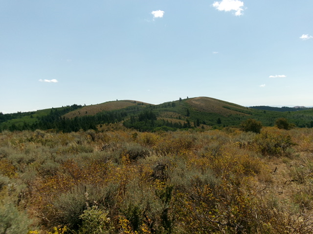
Peak 7230 (left of center) and Point 7162 (right of center) as viewed from the northwest ridge. Livingston Douglas Photo
Access
From US-30 east of Lava Hot Springs (at virtual MM378.5), drive up the [paved] Lund Highway to Bancroft. Leave the highway at Bancroft and head north up [paved] Chesterfield Road. The road turns sharply left/west at the east end of Chesterfield to reach the old townsite. There is a signed junction here with Cow Camp Road. Turn right/east onto Cow Camp Road (a well-maintained, gravel/dirt county road) and reset your odometer. At 4.7 miles, reach a sharp left bend in the road at a large dispersed campsite (right) and an unsigned junction with an ATV trail that heads right/south up the ridge crest. Park at the base of this ATV trail (7,120 feet and 42⁰53’38”N, 111⁰49’18”W).
Map Errors
The USGS topo map fails to show the full extent of the 2-track road on the ridge crest. The old 2-track (now used by ATVs) heads all the way to Point 7162 and then continues (as the USGS topo map shows) southeast to Peak 7230. Contrary to the LOJ Land Management Map, this ridgeline is entirely on public land (State of Idaho land). Hunters love to camp and ride their ATVs up here.
Northwest Ridge, Class 1
The Climb
From the parking spot, hike southwest up the [initially steep] rocky ATV trail to quickly reach the crest of the northwest ridge. The old 2-track road soon reaches a high point on the ridge at about 7,250 feet. Follow the old 2-track (now an ATV trail) south-southeast as it meanders along the up-and-down ridge crest. Ignore any side roads and stay on the ridge crest road, even if it is the weaker 2-track. The ridge heads downhill all the way to a saddle at 6,890 feet.
From the saddle, the 2-track heads south up through a steep, thick forest to reach Point 7162, the [lower] northwest summit. From Point 7162, the 2-track drops southeast to a final saddle at 7,090 feet. It then climbs east to the well-cairned summit of Peak 7230. Contrary to LOJ, the high point is at the northwest end of an elongated ridge crest. I walked farther south on the ridge and found no higher point.

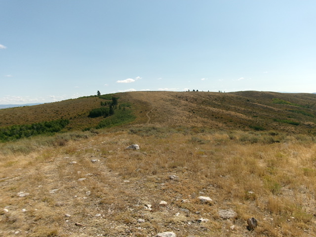
The summit hump of Peak 7230 (dead center) as viewed from Point 7162 to its northwest. Livingston Douglas Photo

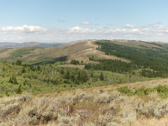
Looking down the northwest ridge (dead center) from the summit. This was my ascent route. Livingston Douglas Photo
Additional Resources
Regions: Blackfoot Mountains->Chesterfield Range->SOUTHERN IDAHO
Mountain Range: Blackfoot Mountains
Longitude: -111.7923 Latitude: 42.8579