Elevation: 7,283 ft
Prominence: 663

This peak is not in the book. Published November 2024
Peak 7283 is one of several ranked summits in the northern ramparts of the Caribou Range. It sits southwest of magnificent Mount Baldy (7,388 feet). This area is a mix of private and public land, so be careful. This climb is entirely on BLM and National Forest land. USGS Point Lookout
Access
Same as for Peak 7042. This is the second leg of a 2-peak journey that includes Peak 7042 and Peak 7283. It covers 5.5 miles with 1,600 feet of elevation gain round trip.
Northwest Ridge, Class 2
The Climb
From the connecting saddle with Peak 7042, follow a cattle trail along an old fence row (shown on the USGS topo map) up the dead center of the northwest ridge. Higher up, the fence and cattle trail disappear. Continue scrambling up the steep scrub, trees, and talus patches to reach the high ridgeline. Head left/southeast in open terrain through thick-ish scrub to reach shorter, easier scrub higher up.
After a lengthy approach, reach the high point (a ground boulder with minimal protrusion) then continue southeast to a large summit cairn on a slightly lower ridge point. From the summit, descend the northwest ridge back to the connecting saddle with Peak 7042. From the saddle, descend northeast down a forested gully to return to Indian Fork Road. Walk northwest down the road to your parked vehicle.

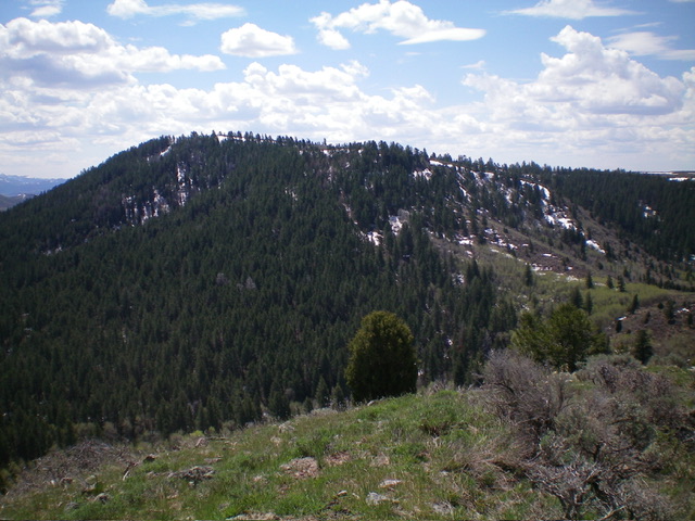
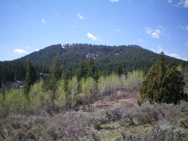
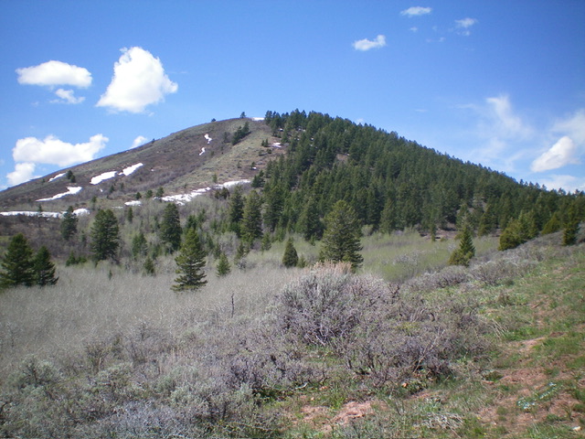
The north and northwest aspects of Peak 7283. I ascended the northwest ridge, which is right of center. Livingston Douglas Photo
Additional Resources
Regions: Caribou Range->SOUTHERN IDAHO
Mountain Range: Caribou Range
Longitude: -111.5918 Latitude: 43.4058

