Elevation: 7,288 ft
Prominence: 548

This peak is not in the book. Published November 2020
Peak 7288 is a brushy, forested hill located on the north side of ID-34 just east of Wayan. It is most easily climbed from FSR-190 on its east side. Peak 7288 is a pure bushwhack and offers no views. It has a surprising amount of prominence for such an insignificant hump. USGS Wayan East
Access
From the east end of ID-34 (at a county road about a mile north of Freedom, WY), drive west on ID-34 for 15.8 miles to an unsigned junction with FSR-190. Turn right/north onto FSR-190 and drive 1.4 miles to reach a dispersed campsite on the left side of the road just after crossing a cattle guard. Park here (7,165 feet). FSR-190 is a narrow, rutted dirt road (bad idea if wet). It is signed after you leave ID-34 and drive about 50 yards up the road.
East Face, Class 2
The Climb
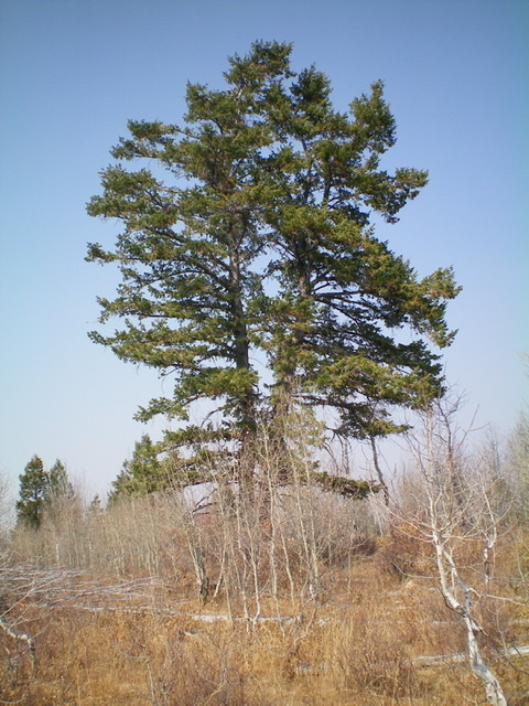
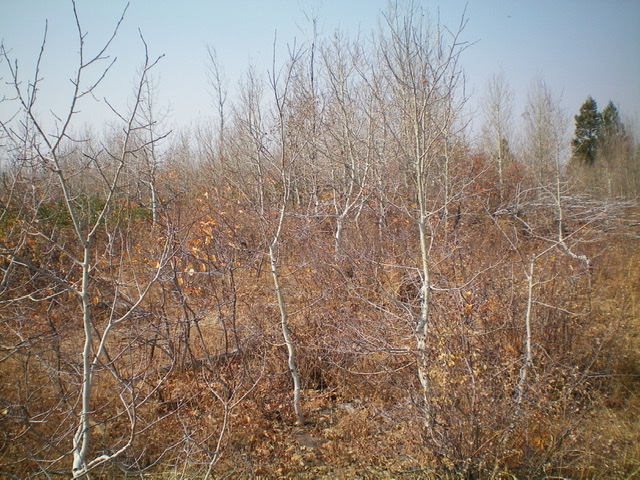
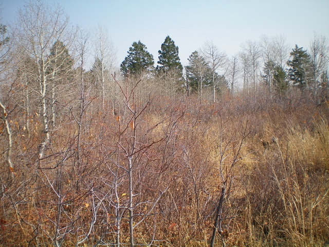
From the dispersed campsite, bushwhack west through thick forest (mostly aspens), using cattle trails and use trails to work through the dense brush and trees. Keep heading uphill until there is no more uphill. The summit area is open and is a combination of aspens and tall brush. A large pine tree seems to be the high point at the west end of the summit cap, as per the USGS topo map. There is no summit cairn nor any rocks with which to build one.

This massive pine tree is the high point of Peak 7288. Climb it and you might actually get a view. Livingston Douglas Photo
Additional Resources
Regions: Caribou Range->SOUTHERN IDAHO
Mountain Range: Caribou Range
Longitude: -111.32229 Latitude: 42.98301

