Elevation: 7,292 ft
Prominence: 312
This peak is not in the book. Published November 2022
Peak 7292 is located along Cove Creek in the Pioneer Mountains. It separates Fowler Gulch from Moran Creek. Peak 7292 is most easily climbed via its east ridge from Cove Creek Road/FSR-124. USGS Baugh Creek SW
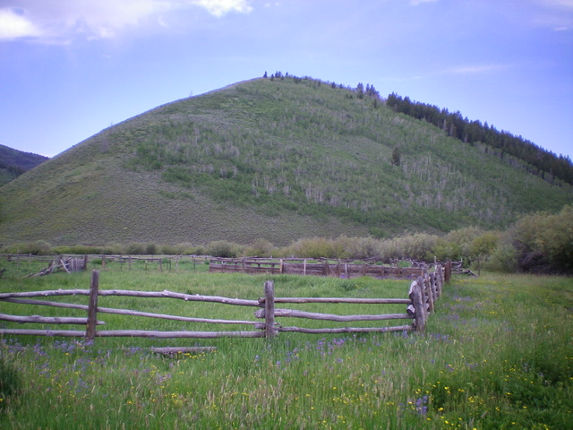
Peak 7292 as viewed from an old corral in a meadow at the base of the east ridge (my ascent route). The summit hump is not yet visible. Livingston Douglas Photo
Access
From ID-75, drive 7.9 miles northeast up East Fork Road to an unsigned junction with Cove Creek Road/FSR-124. Turn right/south onto Cove Creek Road and reset your odometer. At 1.1 miles, reach BLM land. At 1.6 miles, reach the Sawtooth National Forest. At 3.4 miles, reach a signed junction in a large meadow. FSR-979 goes left/east here. FSR-124 crosses Cove Creek via a culvert and continues south. Park at this junction (6,674 feet). GPS coordinates: 43⁰35’40”N, 114⁰11’09”W.
East Ridge, Class 2
The Climb
From the road junction, follow FSR-124 south for about 100 yards as it crosses [small] Cove Creek and reaches an unsigned road junction. This junction sits at the base of the east ridge of Peak 7292. Leave the road and scramble up the moderately steep, rounded ridge through sagebrush and other vegetation. Stay to the left/south of thicker brush and aspens as you progress up the ridge. High up, the slope eases and leads to the summit. The summit has a small cairn. The sagebrush/vegetation on this climb is relatively docile as compared to other hikes in this area.
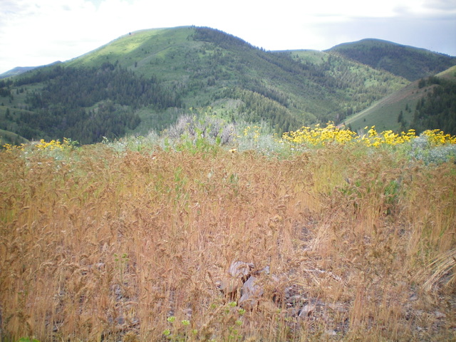
The summit of Peak 7292. Livingston Douglas Photo
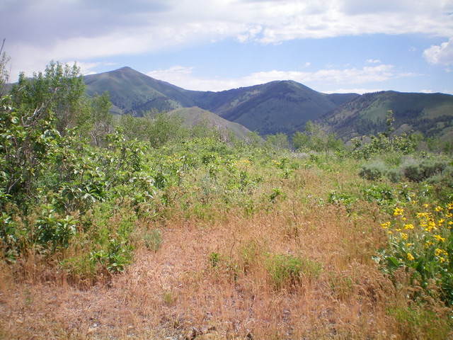
Summit view from atop Peak 7292, looking south. Livingston Douglas Photo
Additional Resources
Regions: EASTERN IDAHO->Pioneer Mountains
Mountain Range: Pioneer Mountains
Longitude: -114.19349 Latitude: 43.60619