Elevation: 7,326 ft
Prominence: 306

This peak is not in the book. The map elevation is 7,321 feet. Published December 2024
Peak 7326 is a ranked summit on the south ridge of Peak 8141. It separates Ennis Gulch from Morgan Creek. It is most easily climbed from Ennis Gulch to its west. USGS Ennis Gulch
Access
Same as for Peak 8141. This is the second leg of a 2-peak adventure that includes Peak 8141 and Peak 7326. It covers 8.5 miles with 3,425 feet of elevation gain round trip.
North Ridge, Class 2
The Climb
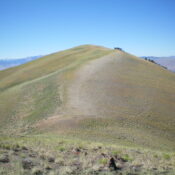
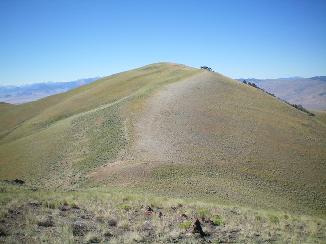
From the 7,020-foot connecting saddle with Peak 8141, follow the ridgeline southwest in short, easy grass/scrub up over Point 7200+ then descent in easy field grass down to a bare saddle at 7,060 feet. From that saddle, scramble south up easy, short grass/scrub to the bare summit of Peak 7326. There were no signs of previous ascent so I built a small cairn on the open high point.

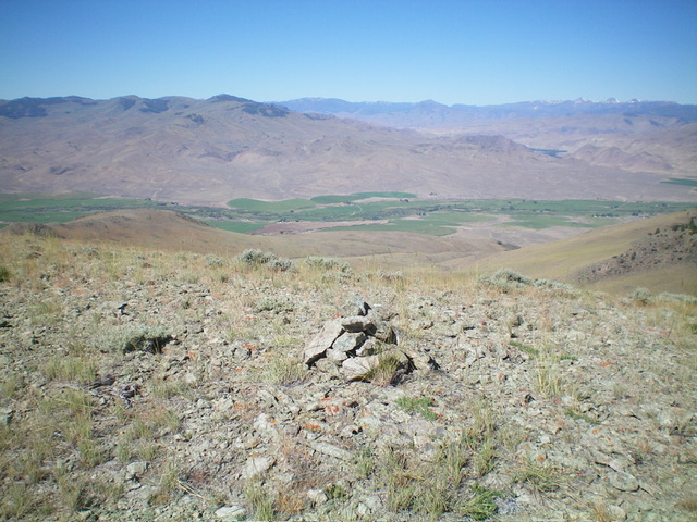
The summit cairn atop Peak 7326 with the Upper Pahsimeroi Valley in the distance. Livingston Douglas Photo
West Face, Class 2
The Descent
From the summit, descend north (briefly) then head west on a northwest-leaning, grassy shoulder steeply down to an ugly, cliffy ridge outcrop. Leave the ridge and descend left/southwest into a gully then onto a grassy shoulder that heads west. Continue following grassy shoulders and faces westward. Cross a final gully and contour left/west onto an old 2-track on a steep shoulder. This 2-track goes directly northwest down to Ennis Gulch in a meadow and a fork in the canyon. Follow the Ennis Gulch Jeep Road southwest back down to your parking spot.

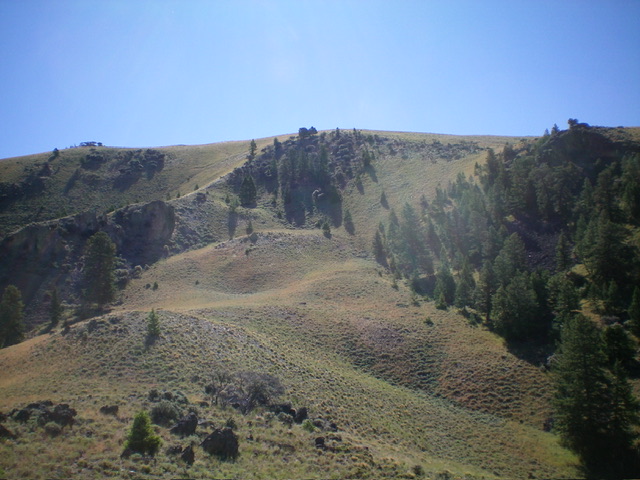
Peak 7326 (dead center) and its west face. My descent route comes down the high ridge left of center then moves right to the center. The route then goes left of center down the undulating grassy shoulders. Livingston Douglas Photo
Additional Resources
Regions: EASTERN IDAHO->Lemhi Range
Mountain Range: Lemhi Range
Longitude: -113.94581 Latitude: 44.67611
