Elevation: 7,400 ft
Prominence: 320

This peak is not in the book. Published November 2024
Peak 7400 sits above the headwaters of Poison Creek in the northern ramparts of the Snake River Range. It is due southwest of Pine Creek Summit. Peak 7400 is most easily climbed from the Tie Canyon trailhead parking area to its northeast. The bushwhack to the top is not onerous. USGS Stouts Mountain

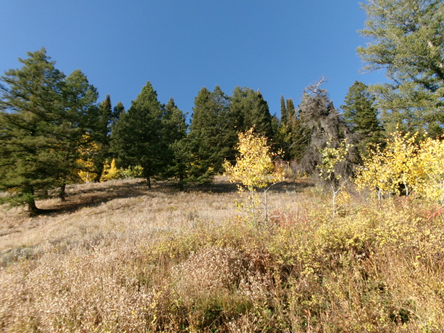
Looking up the upper northeast face of Peak 7400. This was my ascent route. The summit sits above the pine forest in dead center. Livingston Douglas Photo
Access
From Swan Valley, Idaho, drive northeast up ID-31 to the spur road that heads right/southeast to the Tie Canyon trailhead parking area. This spur road is at virtual MM11.8 and is unsigned. Drive 0.4 miles up the spur road to the large parking area (6,180 feet and 43⁰33’22”N, 111⁰14’51”W).
Northeast Shoulder, Class 2
The Climb
From the parking area, walk around the road closure gate and hike briefly south up an old road to a sharp right/west bend in the road just after passing underneath the powerlines. Leave the road here and bushwhack straight south into the pine forest, staying just left/east of a dry gully. Once in the forest, bushwhack south then southwest up a rounded shoulder in a dense pine forest with thick understory.
Some sections of the forest are not very steep (early on) but there are two steep sections—one midway up and another high up. Reach an open ridge area (shown on maps) at about 7,000 feet. The ridge bends right-ish/west-southwest here. Follow open grass/scrub up a steep section of ridge and then re-enter the pine forest. Bash through a short, thick patch of aspens just below the high summit ridge crest. Reach the crest of the summit ridge and scramble a short distance right/northwest to reach the high point.
The high point is a large ground boulder (amongst the trees and brush). It had no summit cairn so I built one atop it. The summit ridge is semi-open and it is more open farther to the southeast. I investigated the elongated ridge crest southeast of the actual high point and found nothing higher. Indeed, the ridge gradually descended for about 10-20 vertical feet and continued to descend. The LOJ placement of the high point is too far to the southeast.

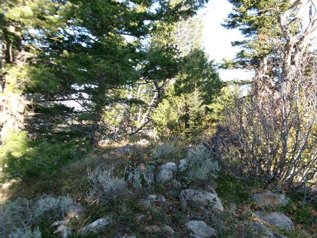
The summit of Peak 7400 with its newly-built summit cairn atop the highest ground boulder (right of center). Livingston Douglas Photo
Additional Resources
Mountain Range: Big Hole and Snake River Mountains
Longitude: -111.2553 Latitude: 43.5447