Elevation: 7,406 ft
Prominence: 335

This peak is not in the book. The name was proposed by Rick Baugher and refers to the landowner. Use Rick’s link below for additional details. Published November 2024
Peak 7406 sits above Double W Divide (to its east) and at the headwaters of Wolverine Creek in the Blackfoot Mountains. While antenna-clad Taylor Mountain (7,404 feet) to its northwest gets all of the attention since it has a trail to its summit, Peak 7406 stands two feet higher. The peak is most easily climbed from the northeast on ACCESS YES land. Access from Double W Divide is now closed to the public. USGS Wolverine

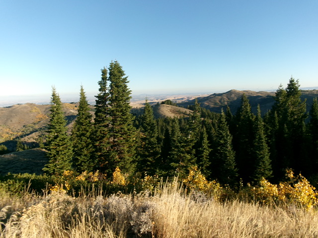
Peak 7406 (dead center) as viewed from high on the north ridge. This was the final leg of my ascent route. Livingston Douglas Photo
Access
From the south end of Firth on US-91, drive 1.7 miles south on US-91 to [signed] East 600N. This is Wolverine Road, a well-maintained county road. Turn left/east onto paved Wolverine Road and reset your odometer. At 10.2 miles, go straight at a junction with [signed] Blackfoot River Road to stay on Wolverine Road. At 16.6 miles, reach the Taylor Mountain trailhead parking area. Continue northeast then southeast up Wolverine Road for another 2.5 miles to a nice pullout on the right/west side of the road just as the road is about to head up a steep-ish grade. This pullout is at 6,420 feet and 43⁰17’50”N, 111⁰52’46”W.
Northeast Shoulder/North Ridge, Class 2
The Climb
From the roadside pullout, bushwhack south on an old 2-track road (on the right/west side of Wolverine Road) for about 150 yards to reach the toe of the northeast shoulder. Bushwhack right/west up onto the brushy, forested shoulder or access it from an easy, dry gully on its right/northwest side. You pass this gully just before reaching the toe of the shoulder.
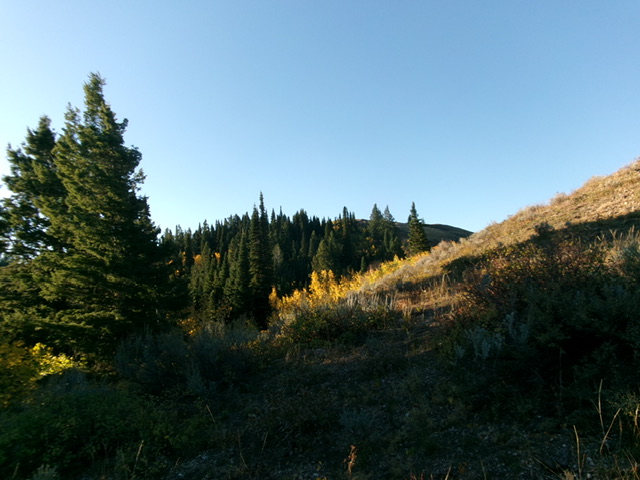
Scramble up the crest of the shoulder in semi-open pine forest. The ridge soon steepens and offers open terrain either entirely or on its left/southeast side. The brush is thick-ish and a bit tedious but, overall, is not difficult as bushwhacking goes. High up, reach a flat area just south of an open ridge hump with an unmapped 2-track heading up its south ridge. Move to the right/north side of this flat area (across the head of a drainage) then bushwhack left/west up onto the ridge crest. Drop about 35 vertical feet to intercept an old 2-track road near the ridge crest.
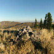
Follow this road southwest very briefly. Leave the road to climb up over an open hump of short, easy grass/scrub. Continue south over another minor hump and then on up to the summit in reasonable scrub. The summit of Peak 7406 is in open, short scrub. It has a decent summit cairn, which I built up a bit. Peak 7406 is clearly the high point of the many ridge humps in this area, though Birch Creek Mountain to its east (and across Double W Divide) is 80 feet higher.
Additional Resources
Regions: Blackfoot Mountains->SOUTHERN IDAHO
Mountain Range: Blackfoot Mountains
Longitude: -111.8856 Latitude: 43.2861

