Elevation: 7,422 ft
Prominence: 522

This peak is not in the book. Published December 2019
Peak 7422 towers 1,800 vertical feet above Greenhorn Gulch to the south. The southern half of the mountain is mostly BLM land whereas the northern half of the mountain is mostly on private land. Consult the BLM Sun Valley map to stay out of trouble. Greenhorn Gulch road is heavily posted and is a private road that you cannot park alongside. The southwest ridge is entirely on BLM land. USGS Mahoney Butte

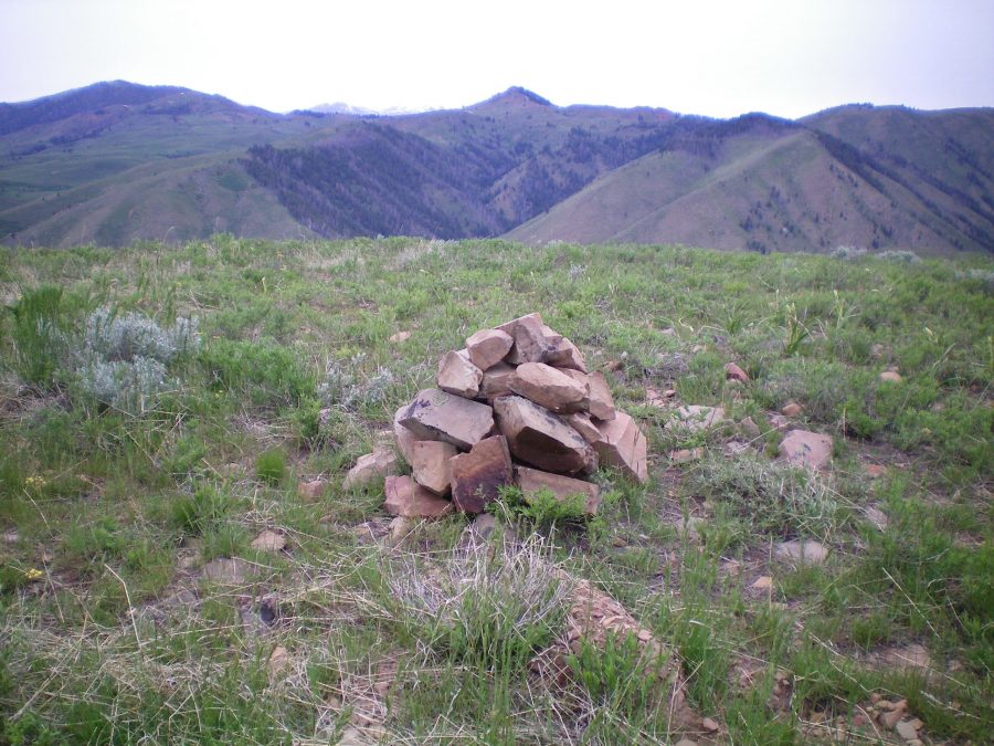
The summit cairn atop Peak 7422 with pyramidal-shaped Peak 8324 in the background (dead center). Livingston Douglas Photo
Southwest Ridge, Class 2
Access
Greenhorn Road is located 5.3 miles north of the stoplight at Albertson’s in Hailey, ID on ID-75. It is signed and has a stoplight. Turn left/west onto Greenhorn Road and drive 3.0 miles to a signed junction with Limekiln Road. Turn right/north onto Limekiln Road and drive 0.1 mile to just beyond a split rail fence that separates private property from public land. Park here (5,790 feet). Walk back to Greenhorn Road and walk west down Greenhorn Road for 0.2 miles to a parking pullout (no parking allowed, however) at the base of the southwest ridge. This is BLM land and is about the only patch of public land on Greenhorn Road before you reach the Sawtooth National Forest boundary farther up the road.
The Climb
From the parking pullout just off Greenhorn Road, climb up the open southwest ridge to the summit. The ridge terrain begins with a steep section of grass and scree. The slope eases and it is a steady grind up easy scrub and firm scree/gravel all the way to the top. The south summit is the high point and is the first point that you reach. There was a small cairn on the high point so I built it up considerably. Surprisingly, there is no climber’s trail or game trail on this ridge.
Additional Resources
Regions: Smoky Mountains->WESTERN IDAHO
Mountain Range: Smoky Mountains
Longitude: -114.38449 Latitude: 43.60219