Elevation: 7,430 ft
Prominence: 610

This peak is not in the book. Published December 2024
Peak 7430 is a forested hump that separates Williams Canyon from Strawberry Canyon in the Bear River Range. It is most easily climbed from FST-110 on its west side. Peak 7430 is covered with maple trees and aspens. The forest is dense and has lots of deadfall and brush. Not a fun place to do a bushwhack. USGS Oneida Narrows Reservoir

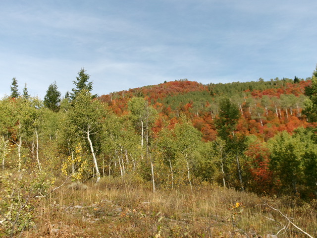
Peak 7430 (dead center) as viewed from the southeast (early in climb). The brushy, forested southeast shoulder was my ascent route. Livingston Douglas Photo
Access
Park in a gravelly roadside pullout along ID-36 at virtual MM16.9. This pullout is 3.3 miles up ID-36 from the Cache National Forest boundary. The pullout is at the base of the southeast shoulder of Peak 7430. It is at 6,645 feet and 42⁰18’49”N, 111⁰37’25”W.
Map Errors
The USGS topo map fails to show FSR-373 and FST-110 in Bear Hollow.
Southeast Shoulder, Class 2
The Climb
From the roadside pullout, cross ID-36 and scramble west up scrub and scree to reach the forested crest of the southeast shoulder. Bushwhack through a dense forest of maples and aspens with copious deadfall and thick understory. This is pure misery. The ridge is rounded and visibility is nil. Head northwest then north then northwest to reach the summit area.
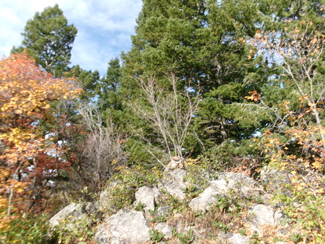
The southeast shoulder leads directly to the summit boulders, trees, and scrub on the ridge crest. The summit is semi-open and there is no doubt that this is the high point. I rebuilt the small summit cairn on top of the highest boulder and enlarged it. The terrain here is mostly ground boulders without much loose talus/scree. This bushwhack is challenging because there are no game trails and few open areas or lanes in the dense forest.
Additional Resources
Regions: Bear River Range->SOUTHERN IDAHO
Mountain Range: Bear River Range
Longitude: -111.6317 Latitude: 42.3191
