Elevation: 7,473 ft
Prominence: 453

This peak is not in the book. Published November 2024
Peak 7473 is the highest of four ranked summits that sit atop a high ridgeline on the east side of Fish Creek Basin. The other peaks are Peak 7438, Peak 7346, and Peak 7029. Peak 7473 is most easily climbed from Fish Creek Road to its southwest. This area is a mix of private and public land, so be careful. This climb is entirely on BLM land. USGS Sedgwick Peak
Access
From US-30 at virtual MM381.9, turn south onto [signed] Hegstrom Road. Follow this well-maintained county road for 6.5 miles south to a sharp right/west bend. After another 0.5 miles, reach a signed junction with Gentile Valley Road. Turn left/south onto Gentile Valley Road and follow it for 0.1 miles to a signed junction with Beaver Dam Road. Turn right onto Beaver Dam Road and reset your odometer.
At 2.0 miles, reach a crest in the road. At 3.0 miles, turn right at an unsigned “T” junction. At 3.8 miles, reach an unsigned junction with Fish Creek Road. Go right/north onto Fish Creek Road and drive 1.2 miles to a crest in the road and a ridge saddle. Park here (6,855 feet and 42⁰32’50”N, 111⁰54’00”W). This is the first leg of a 2-peak adventure that includes Peak 7473 and Peak 7496 (Beaver Basin Peak). It covers 4.0 miles with 1,650 feet of elevation gain round trip.
Southwest Spur/Southeast Ridge, Class 2+
The Climb
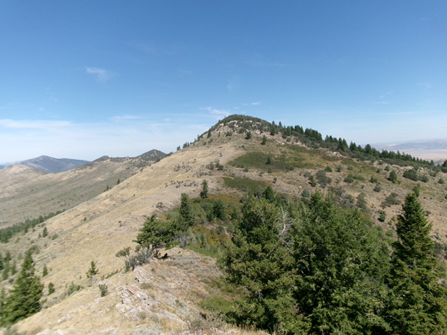
From the road saddle, hike northeast up the remnants of an old 2-track (shown as a trail on the USGS topo map) to a “T” junction not shown on maps. Head left/north up a 2-track road that goes up to just below Point 7286. From the end of the 2-track, scramble up easy scree/scrub to the top of Point 7286. From there, descend north to a saddle at 7,180 feet in easy, open terrain. From the saddle, follow the open ridge north in scrub and scree to just below the ominous ridge cliffs/blocks that guard the summit of Peak 7473.
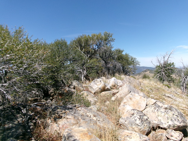
Angle right/east to skirt below the ridge cliffs/blocks and reach the brushy, mahogany-clad southeast ridge. Bushwhack northwest up the thick mahogany and boulders on the ridge to get back onto the south ridge. Work through any gaps that you can find to reach the summit. The ridge-crest summit of Peak 7473 is in a mix of mountain mahogany and boulders. There was no summit cairn so I built one atop the highest ground boulder. Stand atop several boulders in the mahogany trees to be sure that you got the high point. The bushwhack to the summit is thick and tedious (Class 2+), much harder than the open scrub that leads up to the awful summit cap.
Southeast Ridge Full, Class 2+
The Descent
From the summit, descend back to Point 7286. Follow the 2-track road down to the unsigned junction with the 2-track that comes up from the saddle on Fish Creek Road. Head left/southeast on a 2-track road to its end on a minor ridge hump. From that hump, bushwhack southeast down through brush and mountain mahogany to skirt the right/south side of a mahogany-clad ridge hump and reach the 7,020-foot connecting saddle with Peak 7496. This saddle sits at the base of the southeast ridge of Peak 7473. It concludes the first leg of today’s 2-peak journey. Peak 7496 (Beaver Basin Peak) is up next.

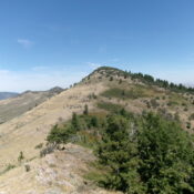
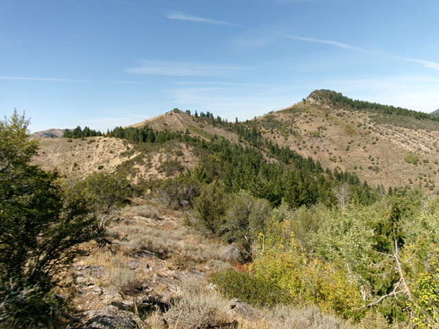
Peak 7473 (right of center), Point 7286 (just left of center), and the tedious southeast ridge (skyline in center then coming at the camera, left of center). This was my descent route. Livingston Douglas Photo
Additional Resources
Regions: Fish Creek Range->Portneuf Range->SOUTHERN IDAHO
Mountain Range: Portneuf Range
Longitude: -111.8953 Latitude: 42.5572

