Elevation: 7,512 ft
Prominence: 332

This peak is not in the book. Published November 2024
Peak 7512 is the high point on an elongated ridge that sits above Della Basin in the Caribou Range of Eastern Idaho. It sits above the headwaters of Keenan Creek. Peak 7512 is most easily climbed via its northwest ridge from McCoy Creek Road/FSR-087. USGS Big Elk Mountain
Access
From Exit 116/Sunnyside Road on I-15 at the south end of Idaho Falls, drive east on Sunnyside Road to its end at a signed “T” junction with Bone Road. Drive 8.6 miles south on [paved] Bone Road to a signed junction with Blackfoot Reservoir Road (right). Continue straight on what is now Long Valley Road. The pavement soon ends but good gravel takes over. This is a maintained county road. Reset your odometer at this junction.
At 20.8 miles, reach a signed junction with West Side Road (right) at the northwest corner of Grays Lake. At 24.4 miles, reach a sharp bend right/south in the road and a signed junction with McCoy Creek Road at the northeast corner of Grays Lake. Turn left/northeast onto McCoy Creek Road and reset your odometer. At 2.1 miles, reach the Caribou National Forest boundary. At 2.3 miles, reach a crest in the road and a dispersed campsite. At 2.8 miles, reach Della Basin. Park along the road here.
Map Errors
The USGS topo map shows a forest service road (FSR-204) in Della Basin. No such road (nor any remnants of it) exist anymore.
West Spur/Northwest Ridge, Class 2
The Climb
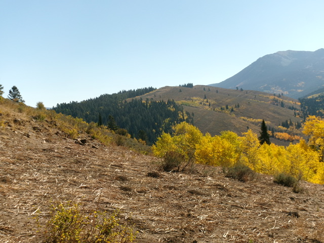
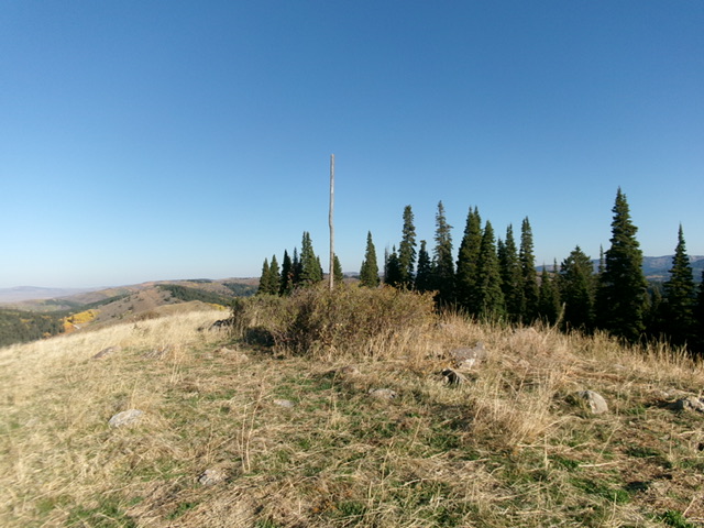
From McCoy Creek Road at Della Basin, drop south to cross a grassy stream basin to reach the base of the west spur of the northwest ridge. Bushwhack up through steep sagebrush on the right/west edge of the forest to reach the gentler terrain higher up. This spur ridge joins the northwest ridge at about 7,350 feet. Follow the easy, open scrub over the [lower] northwest summit hump. Continue southeast to the high point of Peak 7512 in open terrain. The summit had two large poles (probably from surveyors) hidden in sagebrush. I propped one of them up with a few boulders to create a summit cairn/post. The key to this route is to stay in open terrain. Avoid the thick pine forest nearby.

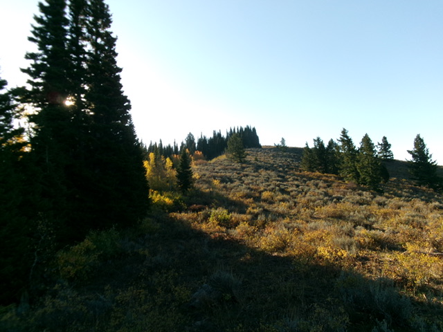
The semi-forested summit hump of Peak 7512 as viewed from high on the northwest ridge. Livingston Douglas Photo
Additional Resources
Regions: Caribou Range->SOUTHERN IDAHO
Mountain Range: Centennial Range
Longitude: -111.3634 Latitude: 43.1362

