Elevation: 7,524 ft
Prominence: 454

This peak is not in the book. Published November 2024
Peak 7524 is the high point on a lengthy ridge that runs from Brockman Creek in the northwest to McCoy Creek in the southeast. It sits above the headwaters of both Pole Creek and Spring Creek in the Caribou Range. Peak 7524 is most easily climbed from Brockman Creek Road to its northeast. USGS Herman
Access
From Exit 116/Sunnyside Road on I-15 at the south end of Idaho Falls, drive east on Sunnyside Road to its end at a signed “T” junction with Bone Road. Drive 8.6 miles south on [paved] Bone Road to a signed junction with Blackfoot Reservoir Road (right). Continue straight on what is now Long Valley Road. The pavement soon ends but good gravel takes over. This is a maintained county road. Reset your odometer at this junction.
At 20.8 miles, reach a signed junction with West Side Road (right) at the northwest corner of Grays Lake. At 24.4 miles, reach a sharp bend right/south in the road and a signed junction with McCoy Creek Road at the northeast corner of Grays Lake. Turn left/northeast onto McCoy Creek Road and reset your odometer. At 2.1 miles, reach the Caribou National Forest boundary. At 2.3 miles, reach a crest in the road at a narrow ridge saddle with a nearby dispersed campsite. Park here (7,070 feet and 43⁰08’52”N, 111⁰23’14”W).
Map Errors
FSR-078 no longer exists but an open, grassy lane does still exist on the southwest ridge of Peak 7524.
Southeast Spur/Southwest Ridge, Class 2
The Climb
From McCoy Creek Road, scramble northeast up a wide lane of open scrub to gain the crest of the open southeast spur. Follow the narrow but easy ridge crest up over Point 7387 then down to a minor saddle. From the saddle, head up over an elongated ridge hump and eventually up over a third, narrow, rocky ridge section. From here, drop to a critical saddle. The ridge terrain so far is a mix of sagebrush and protruding ridge rock. An on-and-off cattle trail near the ridge crest helps in some sections.
From this critical saddle, hike northwest and a bit uphill to look for a way to bushwhack across the head of a large gully (filled with thick aspens) to reach the remnants of an old jeep trail. Find a decent cattle trail that follows the open scrub on the upper edge of the aspens to reach the northern terminus of the gully and the grassy lane (remnants) of the old road. Follow this grassy lane northeast up the ridge to a saddle.
The old road heads left/northwest from this saddle. Leave the grassy lane/old road and follow a cattle trail northeast. This trail skirts the right/southeast edge of a patch of aspens to reach a grassy, unmapped 2-track. Follow this 2-track northeast up through grass/scrub and a patch of pine forest to reach the open grass/scrub of the [lower] southwest summit hump. Descend about 20 vertical feet in easy scrub to a minor notch then climb northeast to the true summit of Peak 7524. The nicely-cairned summit is on a ridgeline and is open but has pine forest nearby to the north.

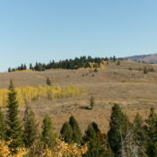
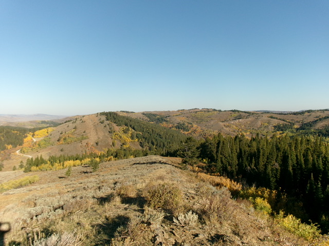
Peak 7524 (in center in distance) and its lengthy southeast spur ridge (left of center). This was the first leg of my ascent route. Livingston Douglas Photo

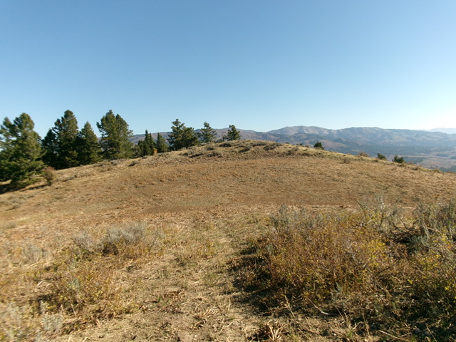
The open summit hump of Peak 7524 as viewed from the [lower] southwest summit. Livingston Douglas Photo
Additional Resources
Regions: Caribou Range->SOUTHERN IDAHO
Mountain Range: Caribou Range
Longitude: -111.3935 Latitude: 43.1692
