Elevation: 7,527 ft
Prominence: 311
This peak is not in the book. Livingston Douglas climbed the peak via a different access and route. His update is set out below. Updated November 2024
This minor peak is located on the ridge line that connects the main Lost River Range crest with the Hawley Mountains. USGS Hawley Mountain
Access
Primary access to this peak is from the Deer Creek Pass Road/FS-279 which, in turn, can be reached from the Wet Creek/Pass Creek Road [(A)(5) on Page 289] to the north or from Deer Creek Road/FS-277 to the south. FS-527 leaves the Deer Creek Pass Road roughly 0.5 miles southeast of Deer Creek Pass. Follow this road south until you reach an unmapped road that leads east to a saddle below Fawn Peak’s south face. This is 4WD country.
South Face, Class 2
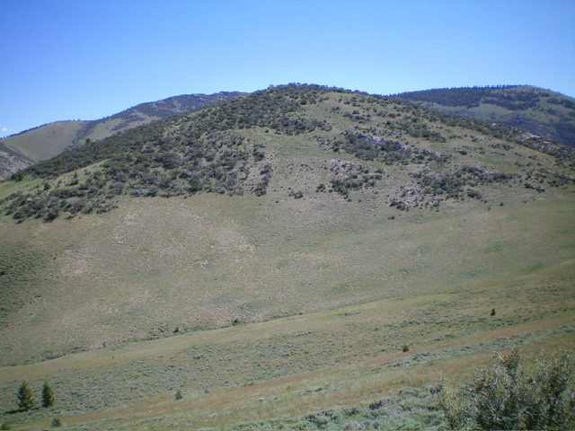
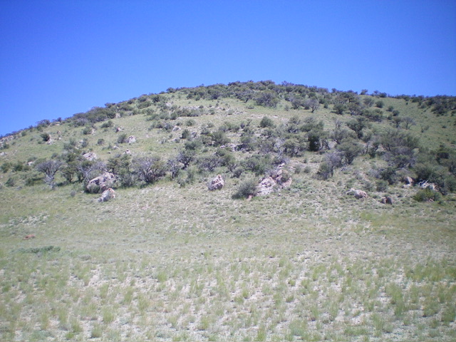
The peak’s south face is a quick scramble from the road’s end. All you have to do is zig and zag through mountain mahogany and ascend 300 feet. There is a nice view from the top and, surprisingly, cell phone coverage.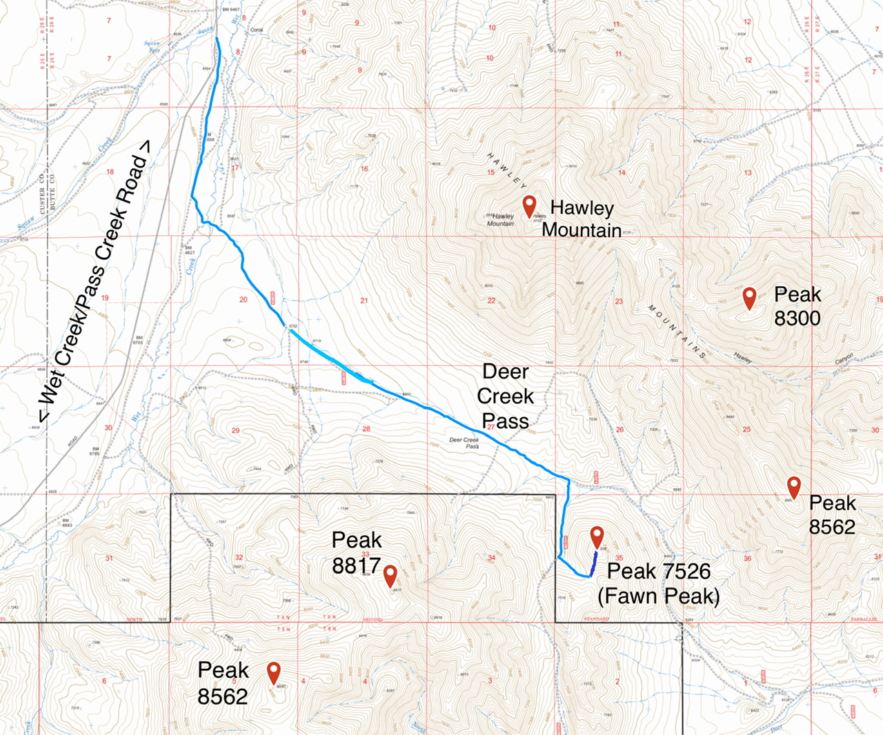
Southeast Ridge and Southeast Ridge/East Spur by Livingston Douglas
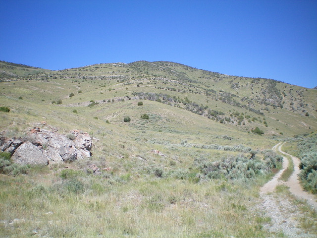
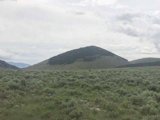
Peak 7527 as viewed from Deer Creek Road to its southeast. The southeast ridge (in dead center) was my ascent route. Livingston Douglas Photo
Access
From ID-33 in Howe, drive northwest on the unsigned, paved Little Lost River Highway. At 24.0 miles, turn left/west onto a 2-track road and reset your odometer. At 0.1 miles, turn left/south onto another 2-track road. At 0.3 miles, turn right/west onto a weaker 2-track road that follows a fence row. At 0.8 miles, reach an unsigned “T” junction.
Turn left/south here onto an unsigned, decent 2-track road and reset your odometer. At 1.4 miles, go right/southwest at an unsigned junction. This is now Deer Creek Road/FSR-278 and is a narrow, overgrown, rutted, sometimes-rocky 2-track road. A 4WD vehicle is required from this point. At 4.2 miles, reach a signed junction. Go right/west to remain on FSR-278. Park alongside the road (6,340 feet and 44⁰03’29”N, 113⁰18’56”W).
Southeast Ridge, Class 2+
The Climb
From the improvised roadside pullout, bushwhack west then northwest through sagebrush up onto a broad ridge of [initially] easy grass/scrub. Follow the obvious, open ridge to the summit. Navigate some Class 2+/3 ridge outcrops and some mountain mahogany higher up. The summit of Peak 7527 has a small cairn on the highest boulder/outcrop. I stood on a few nearby protruding outcrops to be sure that I got the high point.
South Ridge, Class 2
The Descent
See the Lopez discussion of the South Face Route. From the summit, descend south through mountain mahogany to reach easier, gapped mountain mahogany. Lower down, the ridge loses the mountain mahogany and becomes easy scrub down to the bare 7,220-foot saddle at the base of the south ridge. There is a weak, unmapped 2-track road coming up to this saddle from the northwest. This saddle is the low point between Peak 7527 and Peak 8817. It concludes the first leg of today’s 2-peak adventure. Peak 8817 is up next.
Southeast Ridge/East Spur, Class 2+
The Descent
Descend the southeast ridge then leave it to follow the more rugged east spur down to Deer Creek Road. There are more cliff bands to downclimb on this route, but nothing difficult. Once on Deer Creek Road, follow it for 0.3 miles down to the parking spot and your vehicle.
Additional Resources
Regions: EASTERN IDAHO->Lost River Range
Mountain Range: Lost River Range
Year Climbed: 2020
Longitude: -113.32989 Latitude: 44.06739
