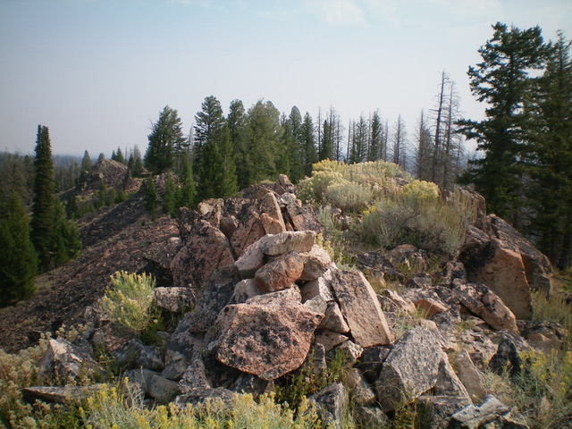
Elevation: 7,536 ft
Prominence: 356
This peak is not in the book. Published November 2022
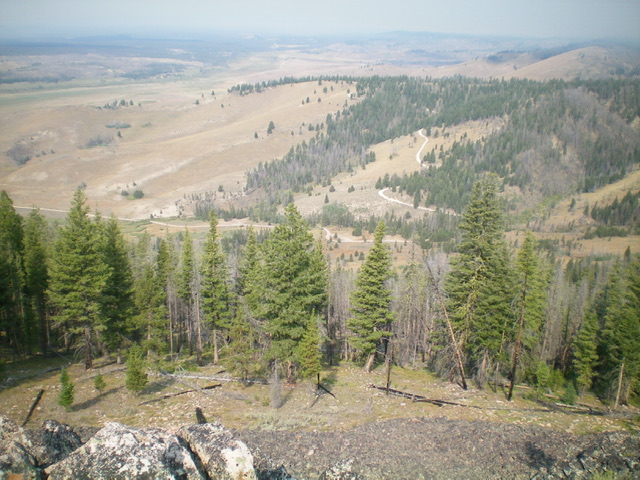
Peak 7536 is the high point on a ridge that separates Anderson Creek from Stanley Creek in the Sawtooth Range. It is most easily climbed from Basin Butte Road to its west. USGS Basin Butte
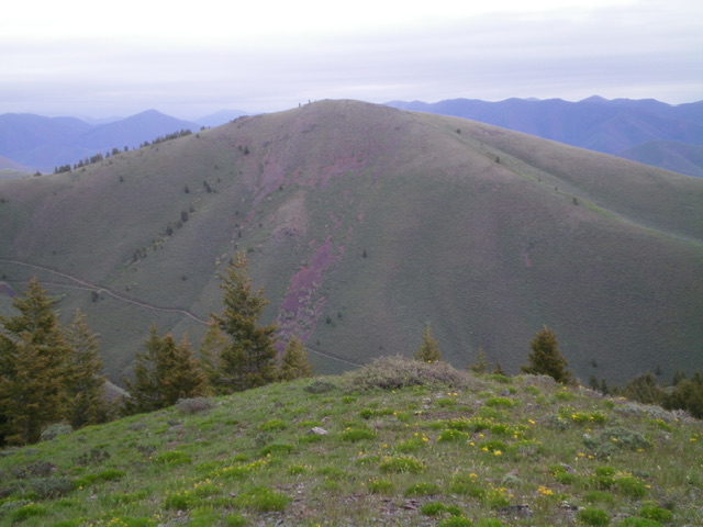
Peak 7536 and its sagebrush-covered west face (my ascent route). The southwest ridge (my descent route) is the ridge at the top of the west face. It heads diagonally right and down in the photo (not all of the southwest ridge is in the photo). Livingston Douglas Photo
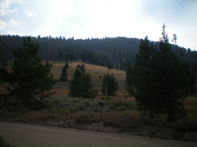
Peak 7536 and its [mostly-forested] west face as viewed from the base of the face. Livingston Douglas Photo
Access
From ID-21 west of Stanley, turn right/east onto [signed] Stanley Creek Road/FSR-653. At 1.3 miles, go left at a signed junction to stay on FSR-653. At 1.5 miles, reach an unsigned “T” junction. Go left/northwest onto Basin Butte Road/FSR-432. Drive 1.7 miles up Basin Butte Road to a large dispersed campsite at a slight bend in the road. Park here (6,650 feet). GPS coordinates: 44⁰16’55”N, 114⁰58’33”W. This campsite sits at the base of the west face of Peak 7536.
West Face, Class 2
The Climb
From the dispersed campsite along Basin Butte Road, follow an old 2-track road southeast up the west face of Peak 7536 in open terrain. The old 2-track heads up into the forest and becomes a footpath. Follow the footpath up the forested upper west face (which is somewhat like a shoulder in this area) until it ends. Bushwhack east directly up the face to reach the boulders at the top of the west face. Move right/south for easier boulder scrambling to reach the summit ridge. Once atop the ridge, follow it left/north for a short distance to the rocky high point of Peak 7536. The summit has a decent cairn.
Additional Resources
Regions: Eastern Salmon River Mountains->Salmon River Mountains->Southeast Corner Peaks->WESTERN IDAHO
Mountain Range: Eastern Salmon River Mountains
Longitude: -114.96559 Latitude: 44.27829
