Elevation: 7,563 ft
Prominence: 463
This peak is not in the book. Published November 2020
Peak 7563 is located on a ridge line that separates Newman Canyon to the east from the Trail Creek drainage to the west. It sits well above its neighboring peaks to the west (Peak 6620, Antelope Twins North, and Antelope Twins South) and is visible from the Antelope Valley to the northwest. It is, however, overshadowed by the much higher Appendicitis Hill (8,523 feet) to its northeast. USGS Grouse
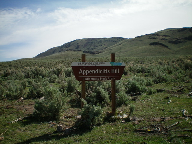
BLM Sign at the start of the climb with Peak 7563 in dead-center behind the sign. Livingston Douglas Photo
Access
Antelope Creek Road/FSR-137 is located 11.5 miles north of the Conoco gas station at the south end of Arco, ID on US-93. The junction is poorly signed, so look for the road itself. Drive 10.9 miles southwest on FSR-137 to a signed junction at a bridge crossing of Antelope Creek. Go left and cross the Antelope Creek on a good bridge to continue on Antelope Creek Road. From the signed junction at the bridge crossing, drive 1.8 miles farther up Antelope Creek Road to an unsigned road junction.
Turn left/east onto that unsigned jeep road and drive east for 1.1 miles to reach the Trail Creek drainage. Park here at a pullout area at a fence row just before the road fords Trail Creek. The elevation at the parking pullout is 6,135 feet. Please note that while the USGS topo map shows a “T” road junction here, the north section of that road (heading north down Trail Creek to intersect Antelope Creek Road) no longer exists.
West Face/South Ridge, Class 2
The Climb
From the parking pullout, the west face of Peak 7563 is intimidating with rocky cliff bands blocking the way in many areas. Cross the cattle fence, then a small stream, then another cattle fence. Now bash through some tall, gapped sagebrush to reach the easier sagebrush and scattered cattle trails. Following a dead-east line, aim for a small rocky outcrop that is left/north of a larger, gentler outcrop. Skirt the left/north side of the small rocky outcrop and drop 30 vertical feet to a minor saddle.
Continue east and head toward a prominent cliff band with a gap/gully to its right/south. Scramble up this sagebrush gap to surmount the cliff band. Now it’s just a simple scramble up moderate sagebrush to reach a minor ridge, from which you must drop 30 vertical feet to a saddle. From this saddle, a 2-track jeep road leads east up to Point 7360+ and the main summit ridge. Follow a 2-track jeep road north to a saddle (75-foot drop) and continue north on that road to the open, gentle ridgeline summit of Peak 7563. I rebuilt the summit cairn. The views of Appendicitis Hill and Peak 8319 are splendid.
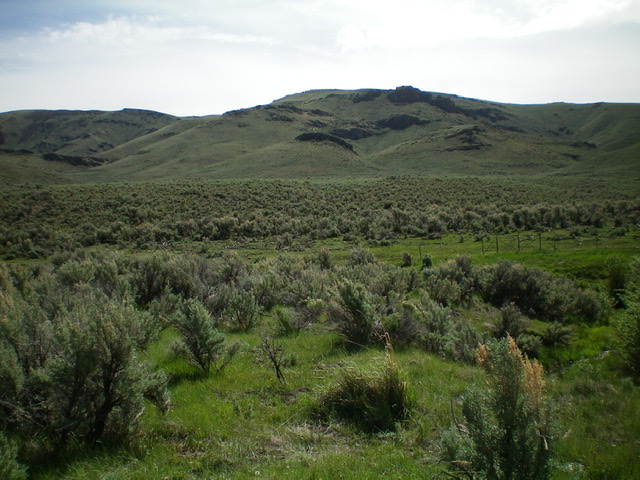
View of Appendicitis Hill (left) and Peak 8319 (right) from the summit of Peak 7563. Livingston Douglas Photo
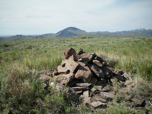
The rebuilt summit cairn atop Peak 7563. Livingston Douglas Photo
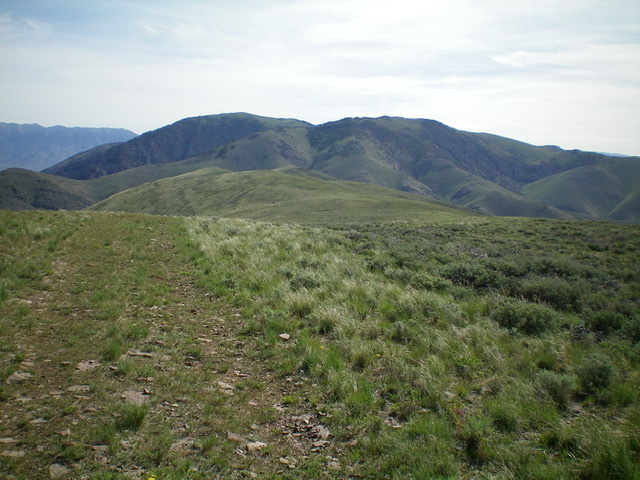
View from the parking pullout of the route to the summit ridge of Peak 7563. The summit is to the far left. The initial rocky outcrop to reach is in dead-center. Livingston Douglas Photo
Additional Resources
Regions: EASTERN IDAHO->Pioneer Mountains
Mountain Range: Pioneer Mountains
Longitude: -113.53479 Latitude: 43.69719