Elevation: 7,580 ft
Prominence: 320
This peak is not in the book. Published November 2023
Peak 7580 is located southeast of Diamond Flat in the Webster Range in eastern Idaho. It sits just north of Boulder Creek and west of Stump Creek. Peak 7580 is most easily climbed from Stump Creek Road/FSR-109 to its east. USGS Diamond Flat
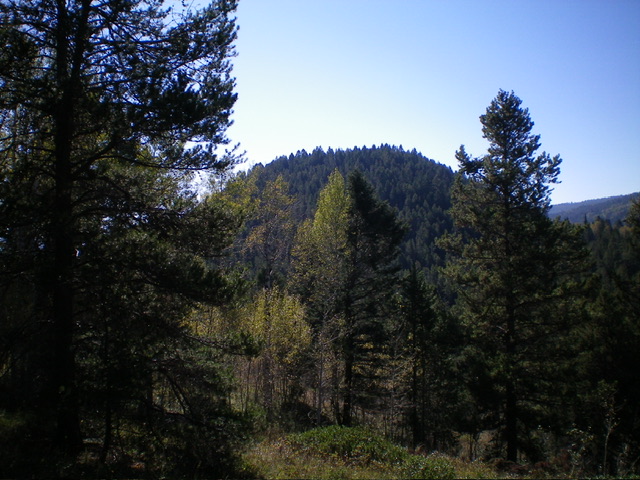
Peak 7580 as viewed from the northwest. Livingston Douglas Photo
Access
Same as for Peak 7771. This is the second leg of a 2-peak adventure that includes Peak 7771 and Peak 7580. It covers 9.0 miles with 1,550 feet of elevation gain round trip.
Map Errors
There is a decent jeep road on the west side of the north ridge of Peak 7771. This road is not shown on maps. There are two southbound jeep roads with unsigned junctions early in the road hike. Both of these side roads are not shown on the Caribou-Targhee National Forest map. These side roads ARE shown on the USGS topo map.
Northwest Ridge, Class 2
The Climb
From the 7,260-foot connecting saddle with Peak 7771, scramble east up through an easy pine forest to quickly reach the crest of the northwest ridge. Head right/southeast on the ridge. The ridge crest soon narrows, has lots of brush, and has a few rocky outcrops to navigate around or over. Reach a high point at the northwest end of the summit area (the northwest summit). Bushwhack southeast in thick brush and willows to reach the official/southeast summit, which is probably slightly higher than the northwest summit.
There is a rocky crest just northwest of the brushy southeast-most point. This small, rocky crest is buried in the forest and is 3-5 feet higher than any other point. I built a summit cairn here. There were no signs of previous ascent. From this summit, return to the nice, forested saddle at the base of the northwest ridge. From here, follow the West Face Route of Peak 7771 to return all the way back to the south end of Diamond Flat and your parked vehicle.
The high point of Peak 7580 with its newly-built summit cairn. It is located near the southeast end of the summit ridge. Livingston Douglas Photo

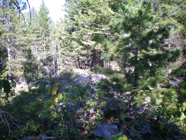
The boulders and semi-open area of the [lower] northwest summit. Livingston Douglas Photo
Additional Resources
Regions: Peale Mountains->SOUTHERN IDAHO->Webster Range
Mountain Range: Peale Mountains
Longitude: -111.1633 Latitude: 42.8461