Elevation: 7,580 ft
Prominence: 360

This peak is not in the book. Published November 2023
Peak 7580 is located deep in the Eastern Salmon River Mountains, just east of East Boulder Meadow on a high ridgeline. It is an easy bushwhack then boulder scramble from nearby FSR-023. The drive to get there will give you more concerns than the climb itself. USGS Napoleon Hill

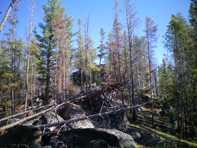
Peak 7580 is the rocky hump hiding behind the pines. This view is from high on the south ridge. Livingston Douglas Photo
Access
From the Sinclair Gas Station at the north end of Salmon on US-93, drive 3.1 miles north on US-93 to a signed junction with Diamond Creek Road at the Lemhi County Fairgrounds. Turn left/west onto Diamond Creek Road and reset your odometer. At 0.5 miles, the road bends hard right/north. At 0.8 miles, reach a “Y” junction. Go left onto [signed] FSR-023. At 11.6 miles, reach a 4-way signed junction on a saddle.
Continue west then north on FSR-023 for 7.9 miles to a roadside pullout just below (and left/west of) the south ridge of Peak 7580 just prior to reaching a prominent gully and a left/west bend in the road. FSR-023 becomes pretty badly rutted for the final few miles of this drive. While not a steep road, you must have a 4WD to navigate this road. Park in this roadside pullout (7,405 feet; 45⁰21’00”N, 114⁰07’31”W).
West Face, Class 3
The Climb
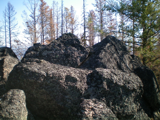
From the roadside pullout, walk briefly north up FSR-023 to a dry gully. Leave the road and bushwhack east up the right/south side of the gully in a forest that is a mix of live and charred pines. Reach the south ridge quickly amongst a mix of large ridge boulders/outcrops, charred deadfall, and some live pines. Head north to quickly reach the southwest base of the massive summit boulders. Scramble briefly up a slot then right/east onto the boulder tops to reach the two massive boulders that vie for the high point. Stand atop each of them to claim victory. The final boulder scramble goes at easy Class 3.
Additional Resources
Mountain Range: Eastern Salmon River Mountains
Longitude: -114.1239 Latitude: 45.3518
